Photo corners
Gesäuse National Park
Hieflau, Austria
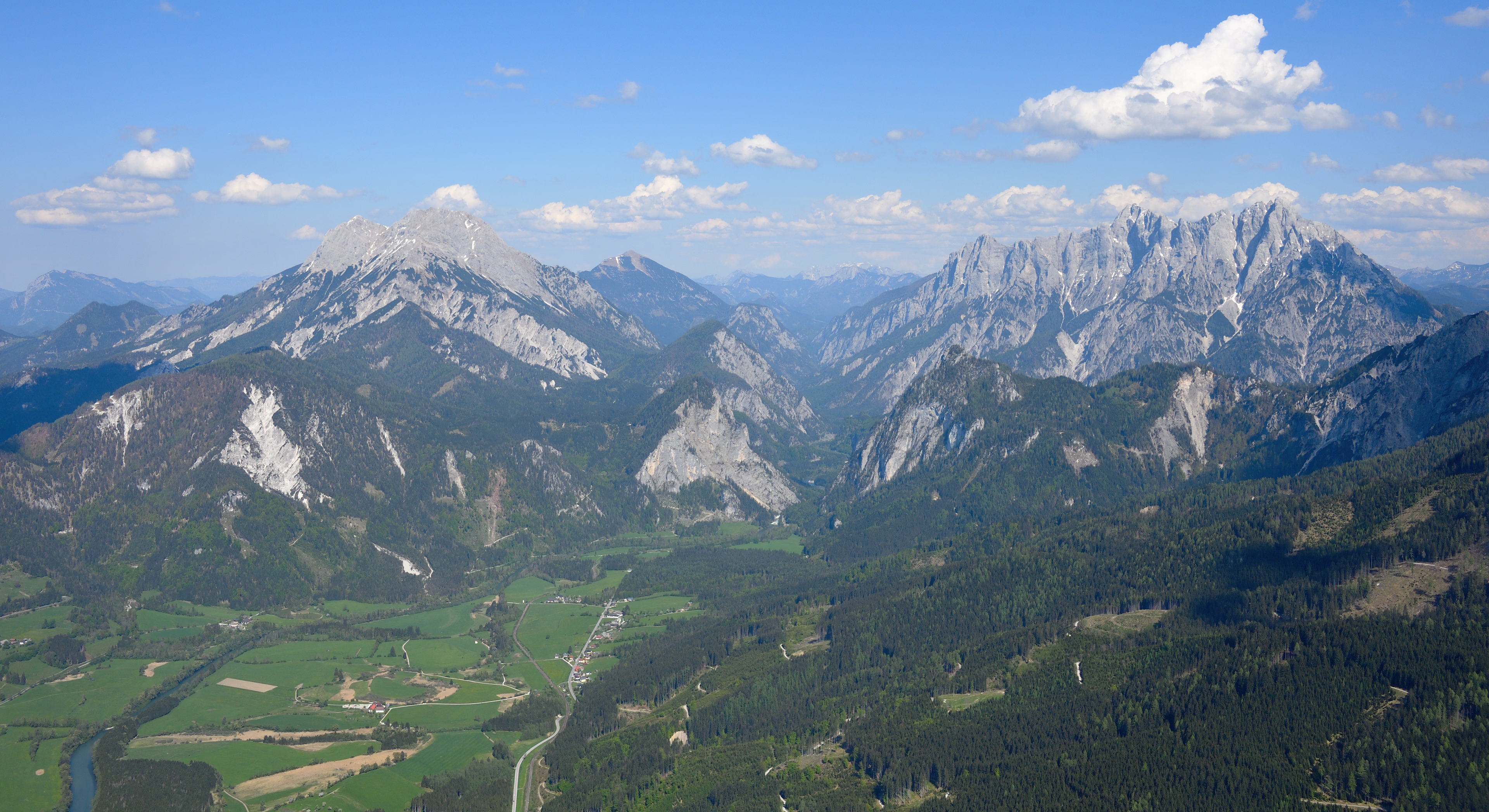
Gesäuse National Park is a national park in the Austrian state of Styria. Located in the mountainous Upper Styrian region, it covers large parts of the Gesäuse range within the Ennstal Alps and the steep water gap of the Enns river between Admont and Hieflau.
- Category
- Photo Spots
- Location
- Hieflau, Austria
- Coordinates
- 47.59220, 14.64890
- How to get there
- Google MapsApple MapsOpenStreetMap
- Wikidata
- Q369655
What is Gesäuse National Park?
Gesäuse National Park is a Photo Spots place on VeroMaps. Other places close by: Odelsteinhöhle, Teufelskirche von St. Gallen, Burgruine Gallenstein, Flurkapelle.
Where is Gesäuse National Park?
Gesäuse National Park is in Hieflau, Austria. Coordinates: 47.59220, 14.64890.
How do I get to Gesäuse National Park?
Gesäuse National Park is at Hieflau, Austria (47.59220, 14.64890). Enter these coordinates in Google Maps, Apple Maps or OpenStreetMap for walking, cycling or driving directions.