Photo corners
Garphyttan National Park
Lekeberg Municipality, Sweden
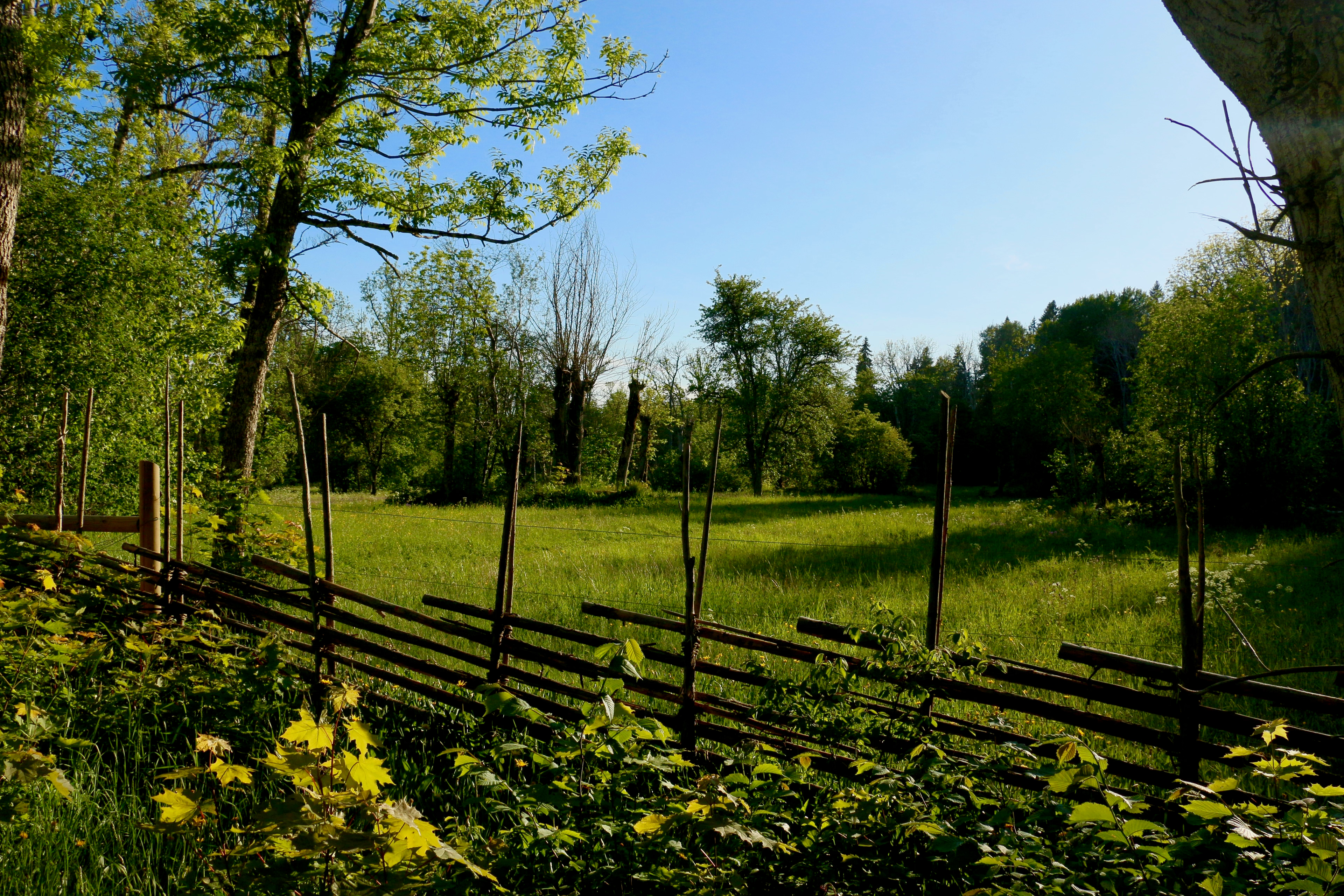
Garphyttan National Park (Swedish: Garphyttans nationalpark) is a Swedish national park in Kilsbergen west of Örebro in Lekeberg Municipality. The national park has an area of 1.11 km2 (0.43 mi2) and was established in 1909 as the first of its kind in Sweden, but was in existence as early as 1857.
- Category
- Photo Spots
- Location
- Lekeberg Municipality, Sweden
- Coordinates
- 59.28023, 14.89284
- How to get there
- Google MapsApple MapsOpenStreetMap
- Wikidata
- Q761227
What is Garphyttan National Park?
Garphyttan National Park is a Photo Spots place on VeroMaps. Other places close by: Goda nyheter för livet, Södra vattentornet, Boglundsängen, Svampen.
Where is Garphyttan National Park?
Garphyttan National Park is in Lekeberg Municipality, Sweden. Coordinates: 59.28023, 14.89284.
How do I get to Garphyttan National Park?
Garphyttan National Park is at Lekeberg Municipality, Sweden (59.28023, 14.89284). Enter these coordinates in Google Maps, Apple Maps or OpenStreetMap for walking, cycling or driving directions.