Forgotten History
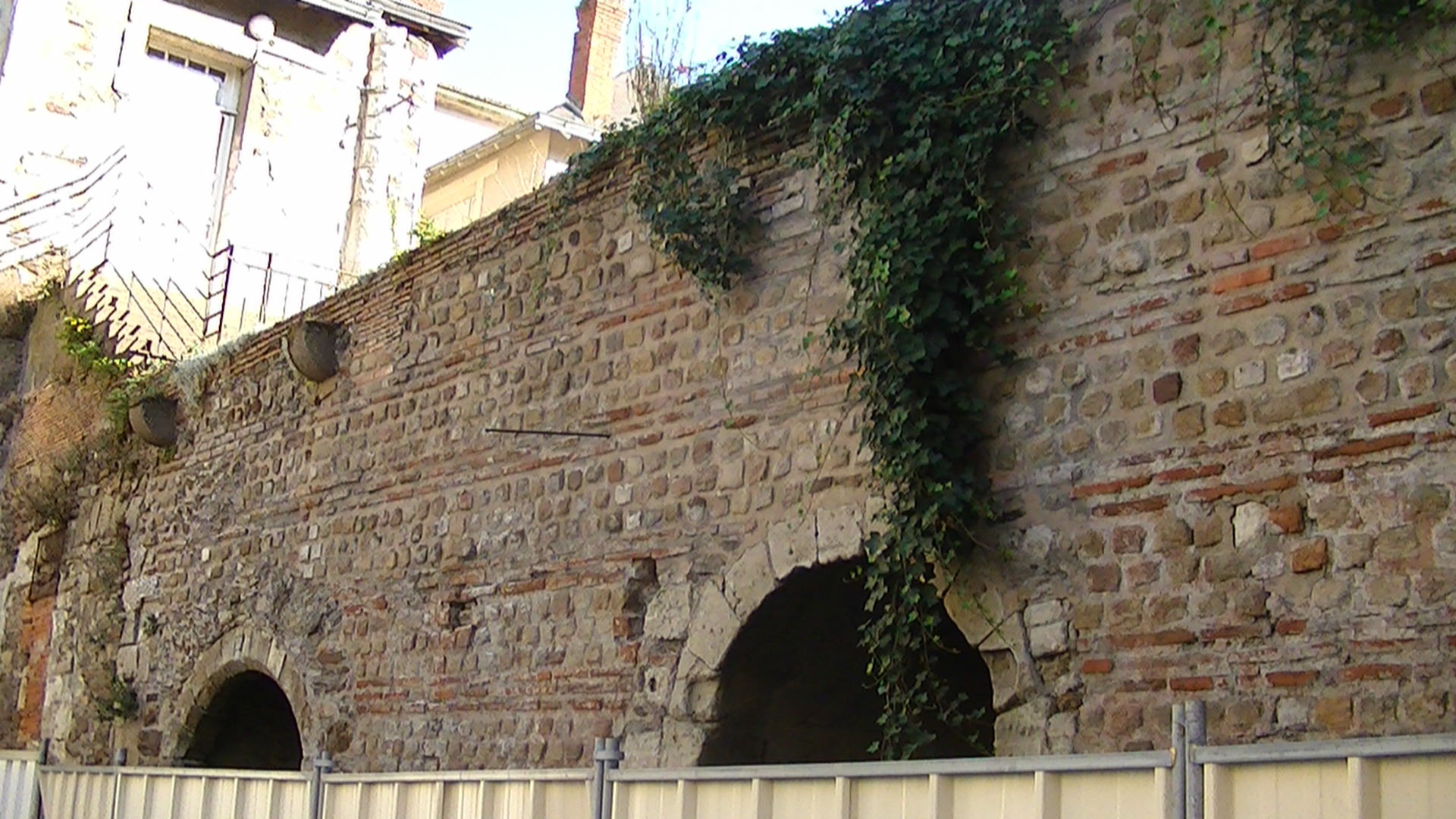
Gallo-Roman wall of Nantes
Nantes, France
The Gallo-Roman wall of Nantes was a wall surrounding the city of Portus Namnetum (today Nantes, France), from the period of Roman Gaul until the High Middle Ages, which is now in ruins.
- Category
- Forgotten History
- Location
- Nantes, France
- Coordinates
- 47.21900, -1.55285
- How to get there
- Google MapsApple MapsOpenStreetMap
- Wikidata
- Q3053748
What is Gallo-Roman wall of Nantes?
Gallo-Roman wall of Nantes is a Forgotten History place on VeroMaps. Other places close by: Hôtel de ville de Nantes, Le Reflet, Chapelle de l'Oratoire, Hôtel La Pérouse.
Where is Gallo-Roman wall of Nantes?
Gallo-Roman wall of Nantes is in Nantes, France. Coordinates: 47.21900, -1.55285.
How do I get to Gallo-Roman wall of Nantes?
Gallo-Roman wall of Nantes is at Nantes, France (47.21900, -1.55285). Enter these coordinates in Google Maps, Apple Maps or OpenStreetMap for walking, cycling or driving directions.