Photo corners
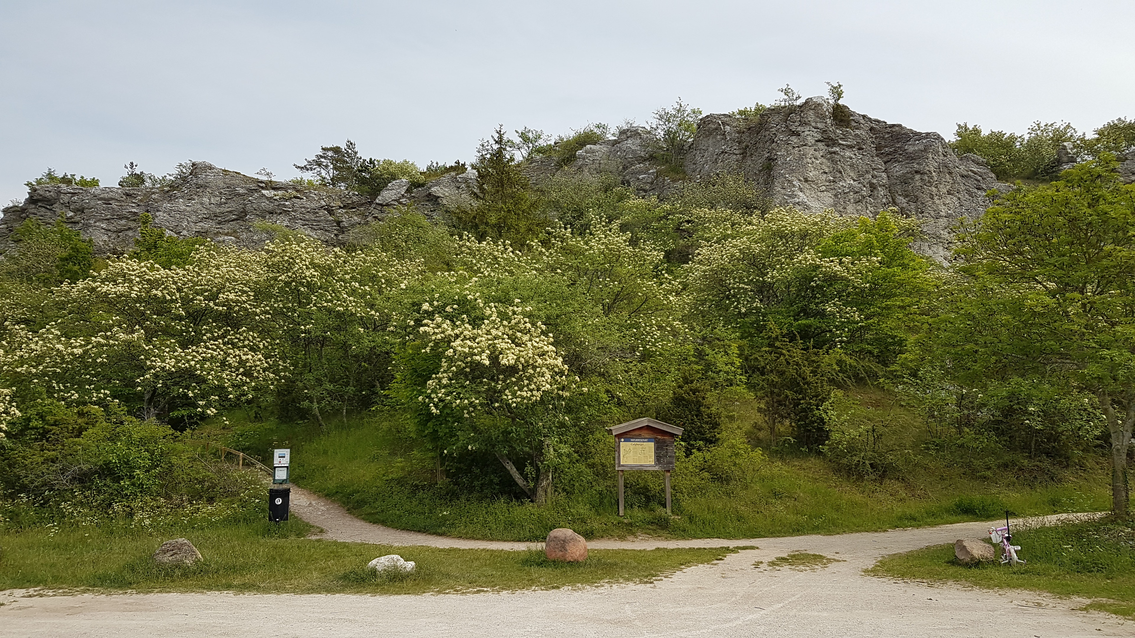
Galgberget
Region Gotland, Sweden
Galgberget (deutsch Galgenberg) ist ein Naturreservat direkt nördlich von Visby auf der schwedischen Insel Gotland. Das Gebiet wird im Westen von der Steilküste, im Osten von der N149 (schwedisch länsväg 149) und im Süden von der Stadt Visby begrenzt. Im Norden liegt Norra Visby, das einen eigenen tätort bildet, im Nordwesten befindet sich auf der anderen Seite der Straße der Flughafen.
- Category
- Photo Spots
- Location
- Region Gotland, Sweden
- Coordinates
- 57.65296, 18.31256
- How to get there
- Google MapsApple MapsOpenStreetMap
- Wikidata
- Q10502178
What is Galgberget?
Galgberget is a Photo Spots place on VeroMaps. Other places close by: Visby Botanical Garden, Solberga Abbey, Visborg, Stora Hästnäs.
Where is Galgberget?
Galgberget is in Region Gotland, Sweden. Coordinates: 57.65296, 18.31256.
How do I get to Galgberget?
Galgberget is at Region Gotland, Sweden (57.65296, 18.31256). Enter these coordinates in Google Maps, Apple Maps or OpenStreetMap for walking, cycling or driving directions.