Forgotten History
Gabii
Roman Italy, Italy
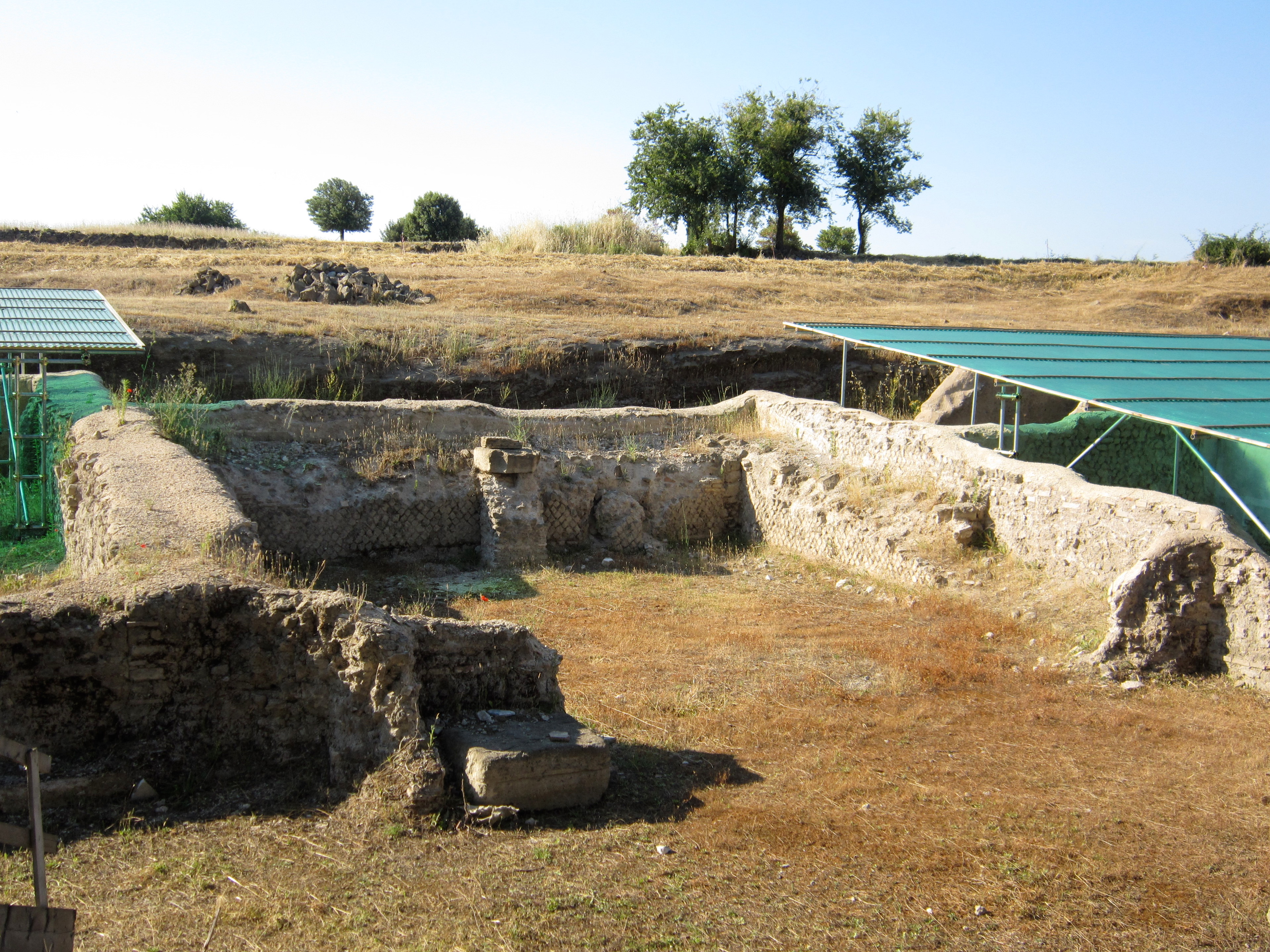
Gabii was an ancient city of Latium, located 18 km (11 mi) due east of Rome along the Via Praenestina, known in earlier times as the Via Gabina. It lies within an archaeological park in which many remains have been recently unearthed. Gabii was a renowned city and once a powerful rival to Rome, particularly during the early Republican period. In legend it was said to be the place where Rome’s founders Romulus and Remus were educated. It was sited on the south-eastern perimeter of an extinct volcanic crater lake, approximately circular in shape, named the Lacus Gabinus, and then during later times called the Lago di Castiglione, "lake of the fortification", after Castiglione, a mediaeval tower erected on the site of the ancient acropolis, or arx, of Gabii. A necropolis is adjacent on that side of the lake. At present, the former lake is entirely agricultural land. Gabii is located in the frazione of Osteria dell'Osa 10 km (6.2 mi), in the Province of Rome, Region of Lazio.
- Category
- Forgotten History
- Location
- Roman Italy, Italy
- Coordinates
- 41.88689, 12.71583
- How to get there
- Google MapsApple MapsOpenStreetMap
- Wikidata
- Q614510
What is Gabii?
Gabii is a Forgotten History place on VeroMaps. Other places close by: Castello di Lunghezza, Tusculum, Villa d'Este, Temple of the Sibyl.
Where is Gabii?
Gabii is in Roman Italy, Italy. Coordinates: 41.88689, 12.71583.
How do I get to Gabii?
Gabii is at Roman Italy, Italy (41.88689, 12.71583). Enter these coordinates in Google Maps, Apple Maps or OpenStreetMap for walking, cycling or driving directions.