Urbex & Abandoned
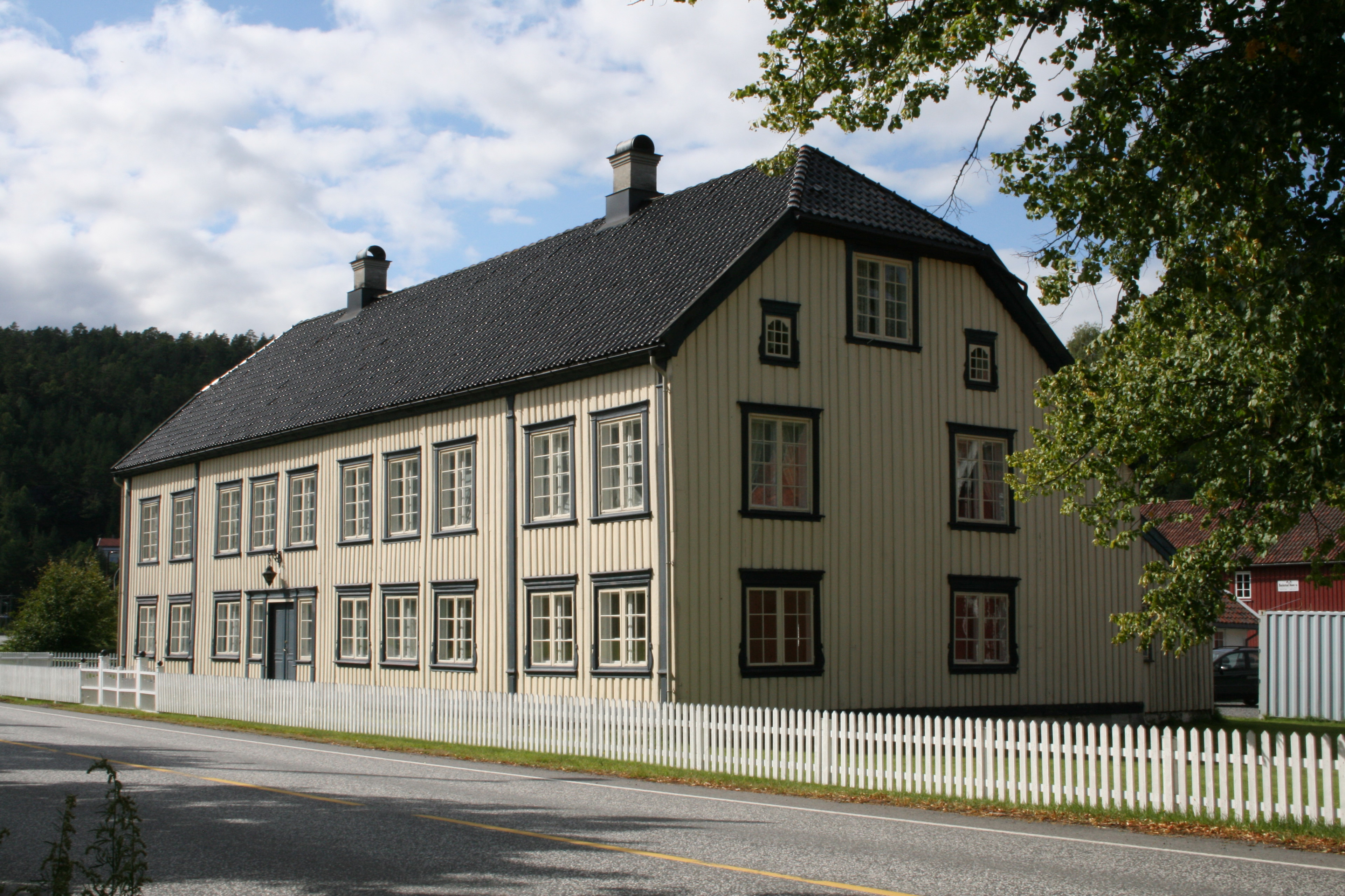
Frolands verk
Froland Municipality, Norway
Frolands verk is a small village area in Froland Municipality in Agder county, Norway. The village is located along the Norwegian County Road 42, almost 5 kilometres (3. 1 mi) west of the municipal centre of Blakstad/Osedalen and about 7 kilometres (4. 3 mi) southeast of the village of Mjåvatn.
- Category
- Urbex & Abandoned
- Location
- Froland Municipality, Norway
- Coordinates
- 58.51861, 8.61583
- How to get there
- Google MapsApple MapsOpenStreetMap
- Wikidata
- Q4589179
What is Frolands verk?
Frolands verk is a Urbex & Abandoned place on VeroMaps. Other places close by: Gloserhei gruve, Sandvigodden Lighthouse, Arendal Smelteverk, Lille Torungen fyr.
Where is Frolands verk?
Frolands verk is in Froland Municipality, Norway. Coordinates: 58.51861, 8.61583.
How do I get to Frolands verk?
Frolands verk is at Froland Municipality, Norway (58.51861, 8.61583). Enter these coordinates in Google Maps, Apple Maps or OpenStreetMap for walking, cycling or driving directions.