Forgotten History
Fort William
Lower Silesian Voivodeship, Poland
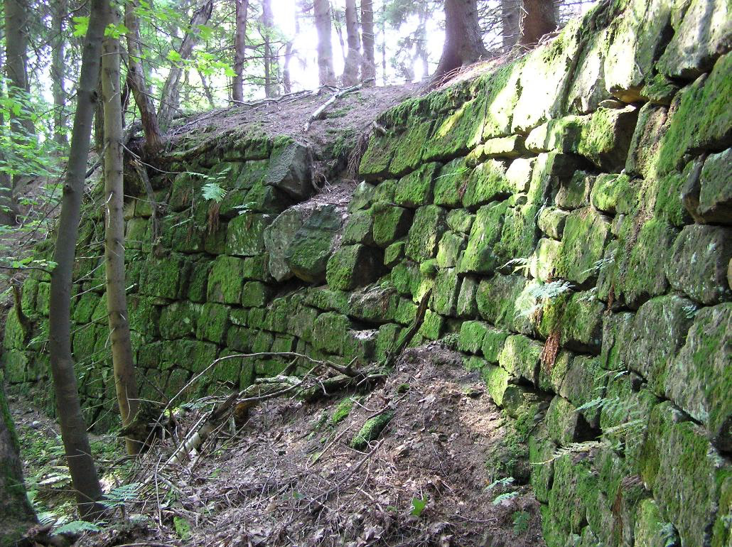
Fort Wilhelm is a former Prussian fortification near Hüttenguth in the former Habelschwerdt district in the County of Glatz (since 1945 Huta, Kłodzko County, Lower Silesian Voivodeship). It is located south of Huta and above Wójtowice in the Golden Mountains (Habelschwerdt Mountains).
- Category
- Forgotten History
- Location
- Lower Silesian Voivodeship, Poland
- Address
- Huta, Lower Silesian Voivodeship
- Coordinates
- 50.32451, 16.54302
- How to get there
- Google MapsApple MapsOpenStreetMap
- Wikidata
- Q9261690
What is Fort William?
Fort William is a Forgotten History place on VeroMaps, on Huta. Other places close by: Fort Fryderyka, Gorzanów Castle, Defensive walls in Bystrzyca Kłodzka, Palace in Krosnowice.
Where is Fort William?
Fort William is in Lower Silesian Voivodeship, Poland. Coordinates: 50.32451, 16.54302.
How do I get to Fort William?
Fort William is at Huta, Lower Silesian Voivodeship, Poland (50.32451, 16.54302). Enter these coordinates in Google Maps, Apple Maps or OpenStreetMap for walking, cycling or driving directions.