Forgotten History
Fort Voordorp
De Bilt, Netherlands
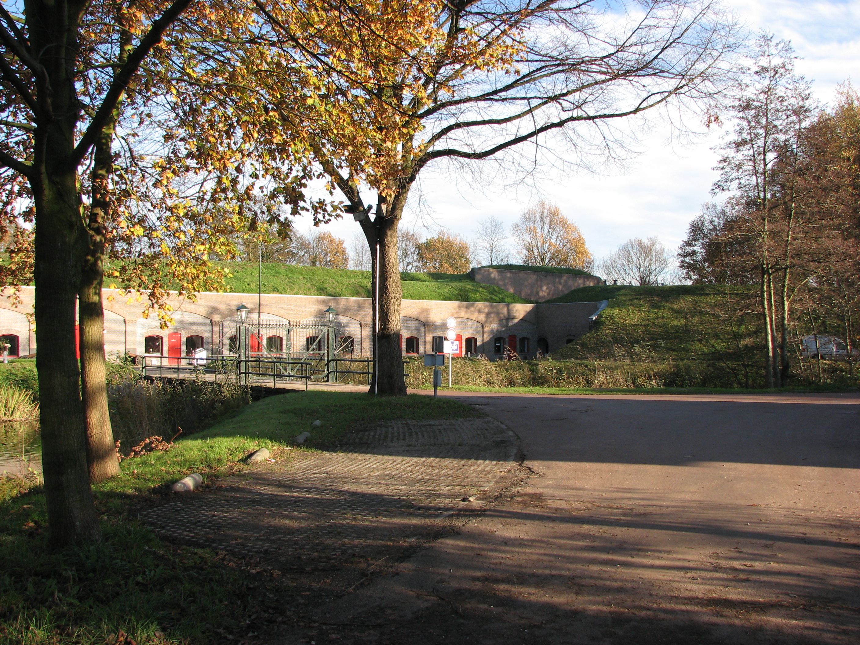
Fort Voordorp (in full: Fort on the Voordorpse Dijk) is part of the New Dutch Waterline that is located between Utrecht and De Bilt. The fort was constructed in the period 1867-1871 east of Utrecht.
- Category
- Forgotten History
- Location
- De Bilt, Netherlands
- Coordinates
- 52.10889, 5.15778
- How to get there
- Google MapsApple MapsOpenStreetMap
- Wikidata
- Q18771963
What is Fort Voordorp?
Fort Voordorp is a Forgotten History place on VeroMaps. Other places close by: Sint-Michaëlkerk, Fort de Bilt, Fort Blauwkapel, Dorpskerk, De Bilt.
Where is Fort Voordorp?
Fort Voordorp is in De Bilt, Netherlands. Coordinates: 52.10889, 5.15778.
How do I get to Fort Voordorp?
Fort Voordorp is at De Bilt, Netherlands (52.10889, 5.15778). Enter these coordinates in Google Maps, Apple Maps or OpenStreetMap for walking, cycling or driving directions.