Forgotten History
Fort van Brasschaat
Brasschaat, Belgium
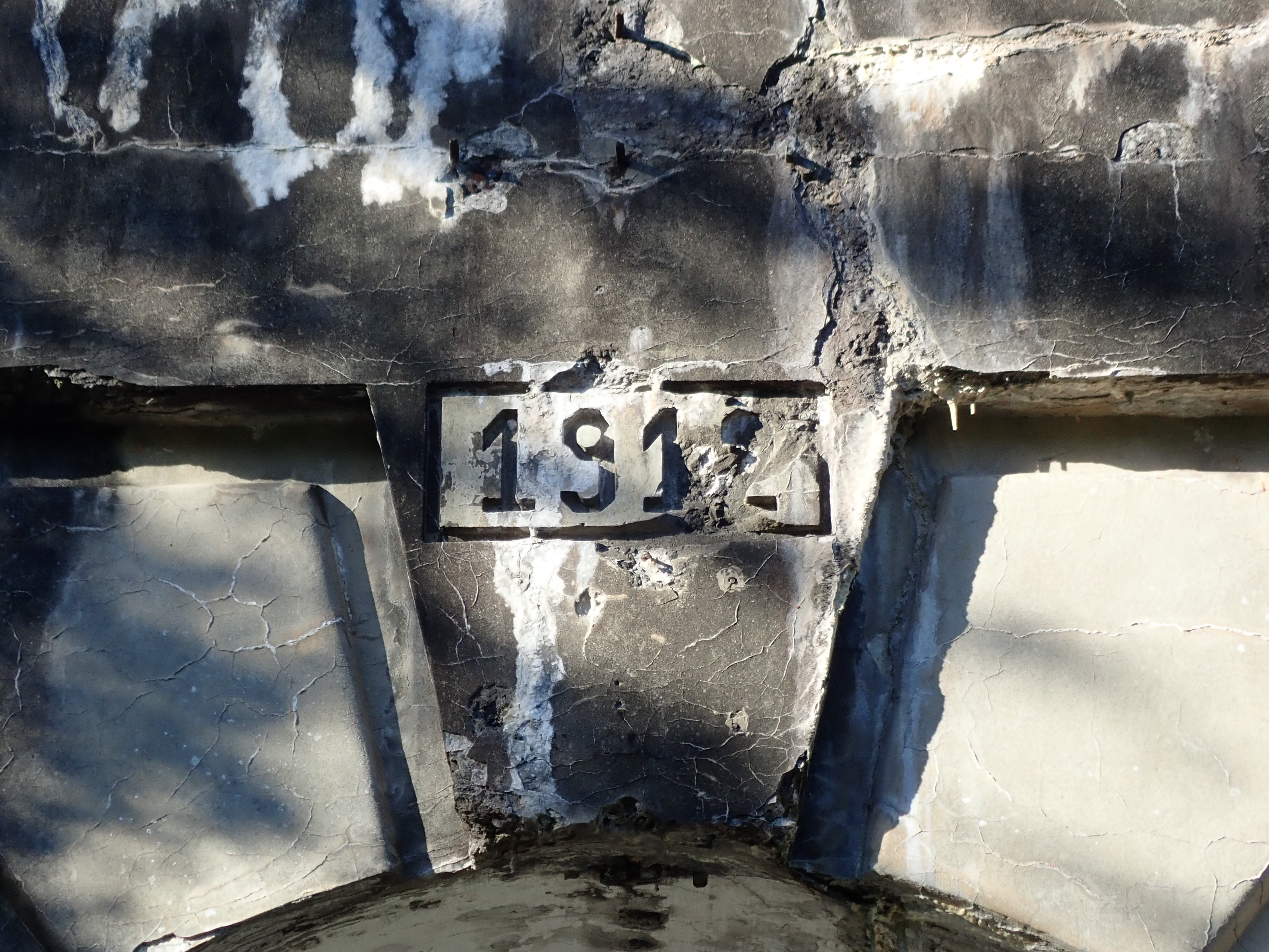
Fort Brasschaat is a Belgian fortification in Brasschaat, Belgium, north of the city of Antwerp. Fort Brasschaat was part of the 3rd, and final, phase of defenses constructed around Antwerp. Antwerp was chosen in 1859 to become the “National Redoubt” in case of invasion.
- Category
- Forgotten History
- Location
- Brasschaat, Belgium
- Coordinates
- 51.32889, 4.49556
- How to get there
- Google MapsApple MapsOpenStreetMap
- Wikidata
- Q2735808
What is Fort van Brasschaat?
Fort van Brasschaat is a Forgotten History place on VeroMaps. Other places close by: Kasteel Bellenhof, Kasteel Torenhof, Hof ter Mick, Fort van Ertbrand.
Where is Fort van Brasschaat?
Fort van Brasschaat is in Brasschaat, Belgium. Coordinates: 51.32889, 4.49556.
How do I get to Fort van Brasschaat?
Fort van Brasschaat is at Brasschaat, Belgium (51.32889, 4.49556). Enter these coordinates in Google Maps, Apple Maps or OpenStreetMap for walking, cycling or driving directions.