Urbex & Abandoned
Fort Stanton
D.C., United States
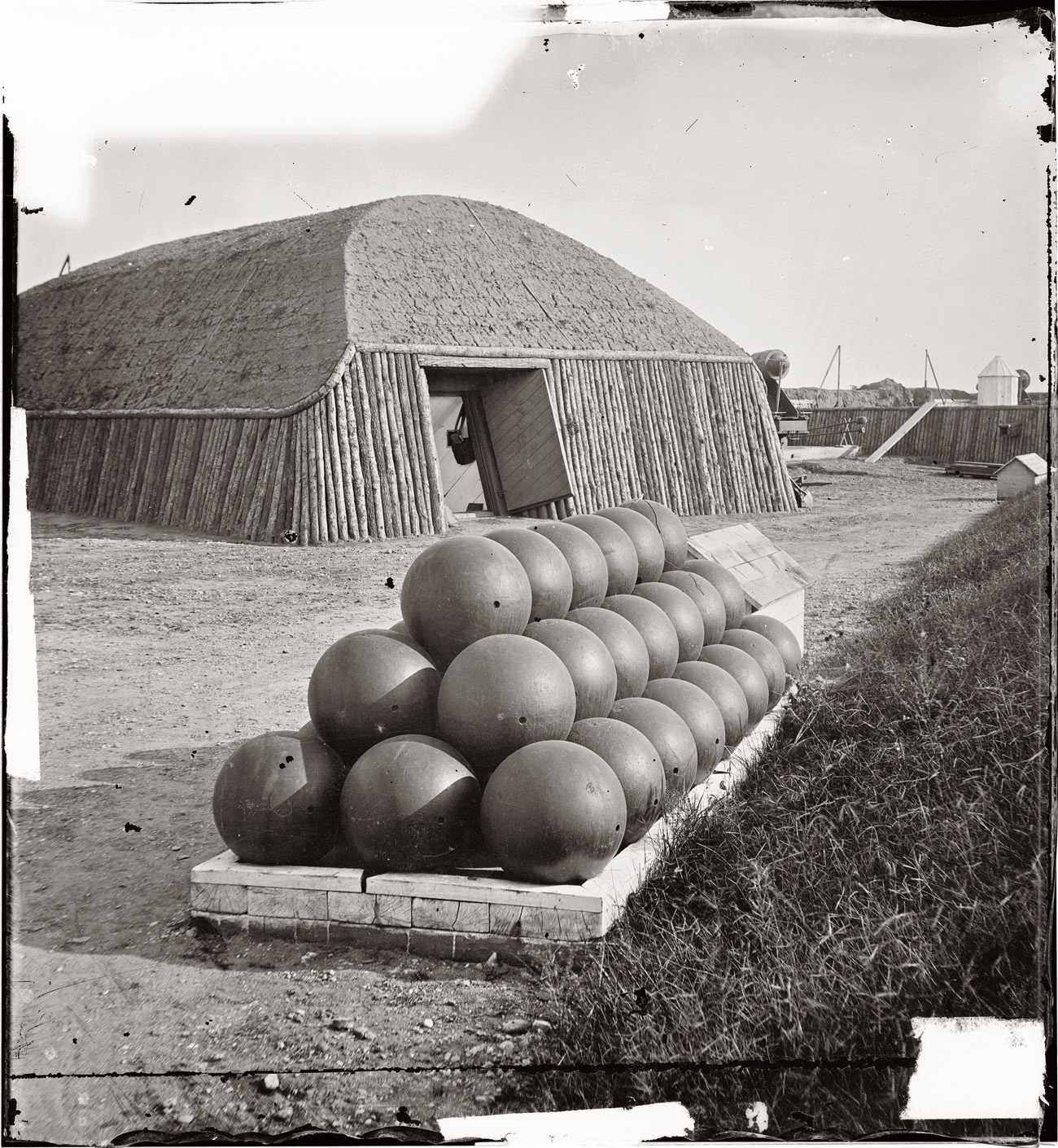
Fort Stanton was a Civil War-era fortification constructed in the hills above Anacostia in the District of Columbia, USA, and was intended to prevent Confederate artillery from threatening the Washington Navy Yard. It also guarded the approach to the bridge that connected Anacostia (then known as Uniontown) with Washington. Built in 1861, the fort was expanded throughout the war and was joined by two subsidiary forts: Fort Ricketts and Fort Snyder. Following the surrender of the Army of Northern Virginia, it was dismantled and the land returned to its original owner. It never saw combat. Abandoned after the war, the site of the fort was planned to be part of a grand "Fort Circle" park system encircling the city of Washington. Though this system of interconnected parks never was fully implemented, the site of the fort is today a park maintained by the National Park Service, and a historical marker stands near the fort's original location.
- Category
- Urbex & Abandoned
- Location
- D.C., United States
- Address
- Washington, D.C.
- Coordinates
- 38.86000, -76.97720
- How to get there
- Google MapsApple MapsOpenStreetMap
- Wikidata
- Q5472092
What is Fort Stanton?
Fort Stanton is a Urbex & Abandoned place on VeroMaps, on Washington. Other places close by: Albi, Rose's Luxury, Pineapple & Pearls, Bullfeathers.
Where is Fort Stanton?
Fort Stanton is in D.C., United States. Coordinates: 38.86000, -76.97720.
How do I get to Fort Stanton?
Fort Stanton is at Washington, D.C., United States (38.86000, -76.97720). Enter these coordinates in Google Maps, Apple Maps or OpenStreetMap for walking, cycling or driving directions.