Photo corners
Fort Rocchette
Strada vicinale della Dogana, Italy
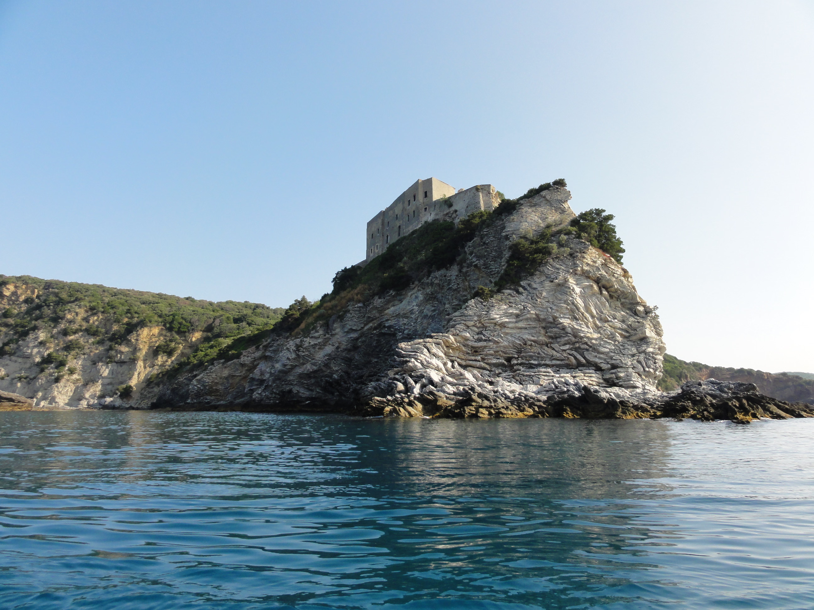
Fort Rocchette (Italian: Forte delle Rocchette) is a historic coastal fortification located on the promontory of Rocchette between Castiglione della Pescaia and Punta Ala, in the province of Grosseto, Tuscany, central Italy.
- Category
- Photo Spots
- Location
- Strada vicinale della Dogana, Italy
- Coordinates
- 42.77327, 10.79021
- How to get there
- Google MapsApple MapsOpenStreetMap
- Wikidata
- Q3748672
What is Fort Rocchette?
Fort Rocchette is a Photo Spots place on VeroMaps. Other places close by: Tour de Cala Galera, Castello di Punta Ala, Torre Hidalgo, tour Appiani.
Where is Fort Rocchette?
Fort Rocchette is in Strada vicinale della Dogana, Italy. Coordinates: 42.77327, 10.79021.
How do I get to Fort Rocchette?
Fort Rocchette is at Strada vicinale della Dogana, Italy (42.77327, 10.79021). Enter these coordinates in Google Maps, Apple Maps or OpenStreetMap for walking, cycling or driving directions.