Forgotten History
Fort Lapin
Bruges, Belgium
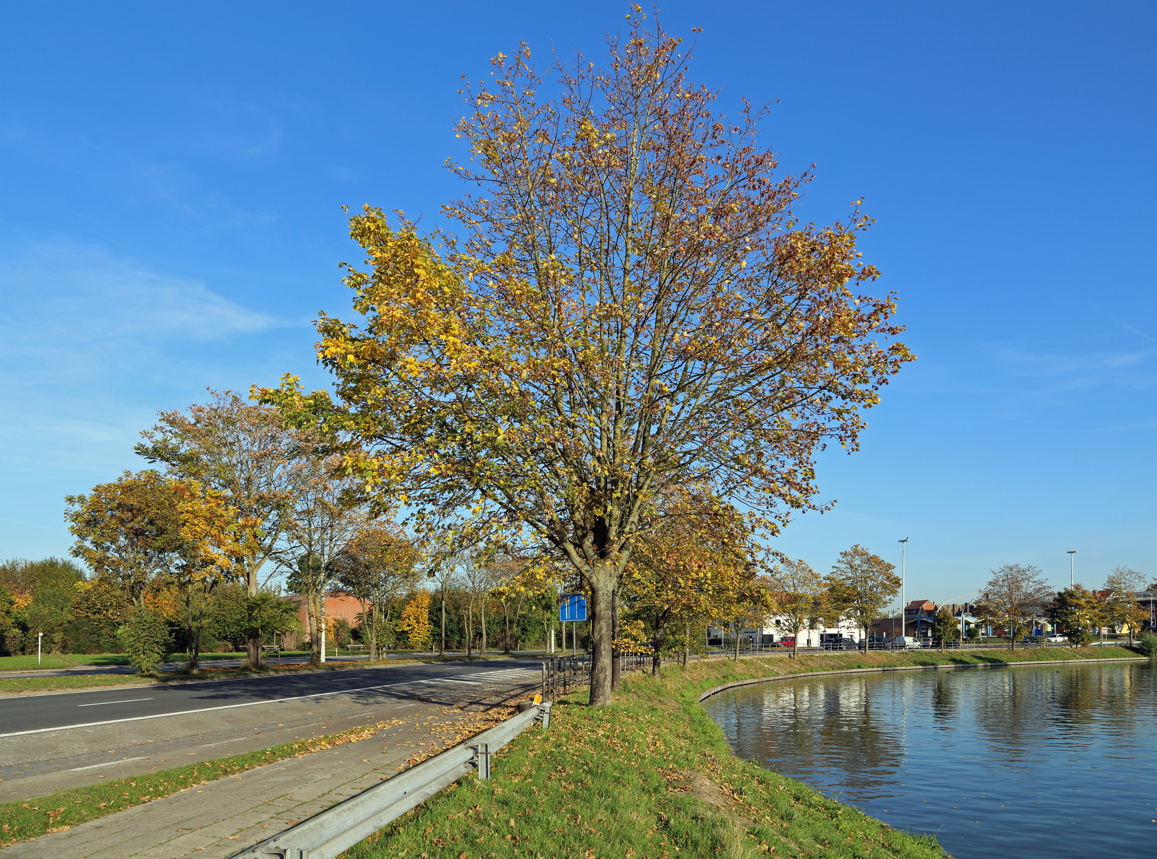
Fort Lapin was a fort in the north of Bruges that was built in 1664 to protect the Handelskom, which was dug the same year. The fort is considered part of the State-Spanish Lines, although at that time there was no longer any danger from the State side, since peace had been signed (in 1648) and the borders had been established. This trading basin connected to the Bruges-Oostende canal, dug from 1618-1622. Fort Lapin was located on the border of the former municipalities of Bruges and Koolkerke, in the current Sint-Jozef district.
- Category
- Forgotten History
- Location
- Bruges, Belgium
- Coordinates
- 51.22283, 3.22992
- How to get there
- Google MapsApple MapsOpenStreetMap
- Wikidata
- Q2113950
What is Fort Lapin?
Fort Lapin is a Forgotten History place on VeroMaps. Other places close by: Warandebrug, Dampoortbruggen, Koeleweimolen, Bonne Chiere, Bruges.
Where is Fort Lapin?
Fort Lapin is in Bruges, Belgium. Coordinates: 51.22283, 3.22992.
How do I get to Fort Lapin?
Fort Lapin is at Bruges, Belgium (51.22283, 3.22992). Enter these coordinates in Google Maps, Apple Maps or OpenStreetMap for walking, cycling or driving directions.