Forgotten History
Fort Isabella
Vught, Netherlands
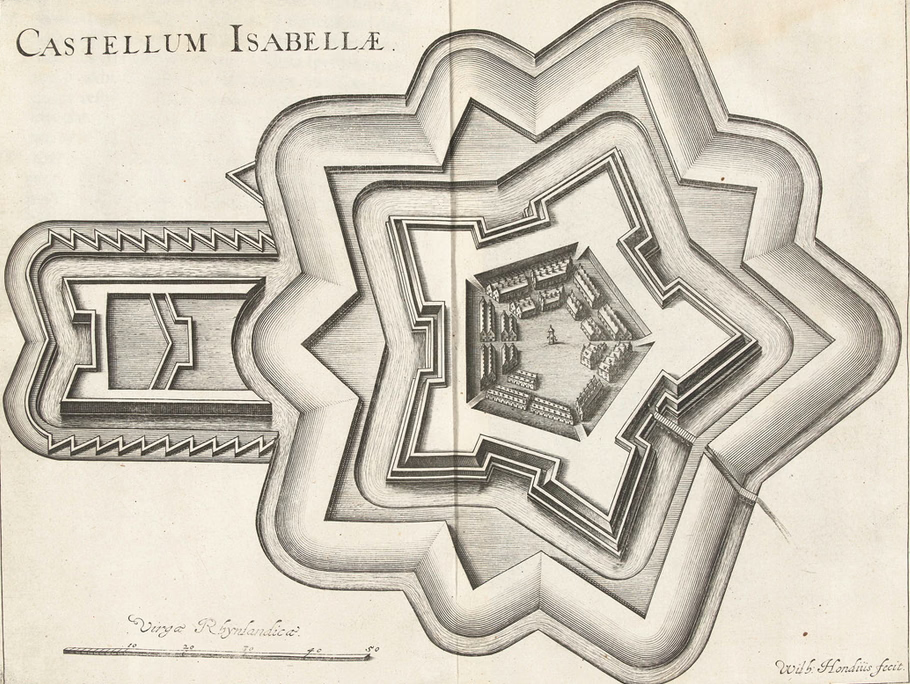
Fort Isabella is a fortification for the defense of the city of 's-Hertogenbosch, located on the north side of the current municipality of Vught. The name of the fort comes from Archduchess Isabella (1566-1633), Duchess of Brabant and daughter of the Spanish King Philip II. In addition to fortification, another important function of the fort was the billeting of part of the garrison. Many soldiers were stationed in and around 's-Hertogenbosch during these times.
- Category
- Forgotten History
- Location
- Vught, Netherlands
- Coordinates
- 51.67361, 5.28917
- How to get there
- Google MapsApple MapsOpenStreetMap
- Wikidata
- Q2507934
What is Fort Isabella?
Fort Isabella is a Forgotten History place on VeroMaps. Other places close by: Fort Sint-Anthonie, Bastion Vught, The Goose, Bastionder.
Where is Fort Isabella?
Fort Isabella is in Vught, Netherlands. Coordinates: 51.67361, 5.28917.
How do I get to Fort Isabella?
Fort Isabella is at Vught, Netherlands (51.67361, 5.28917). Enter these coordinates in Google Maps, Apple Maps or OpenStreetMap for walking, cycling or driving directions.