Urbex & Abandoned
Fort Henry
Swanage, United Kingdom
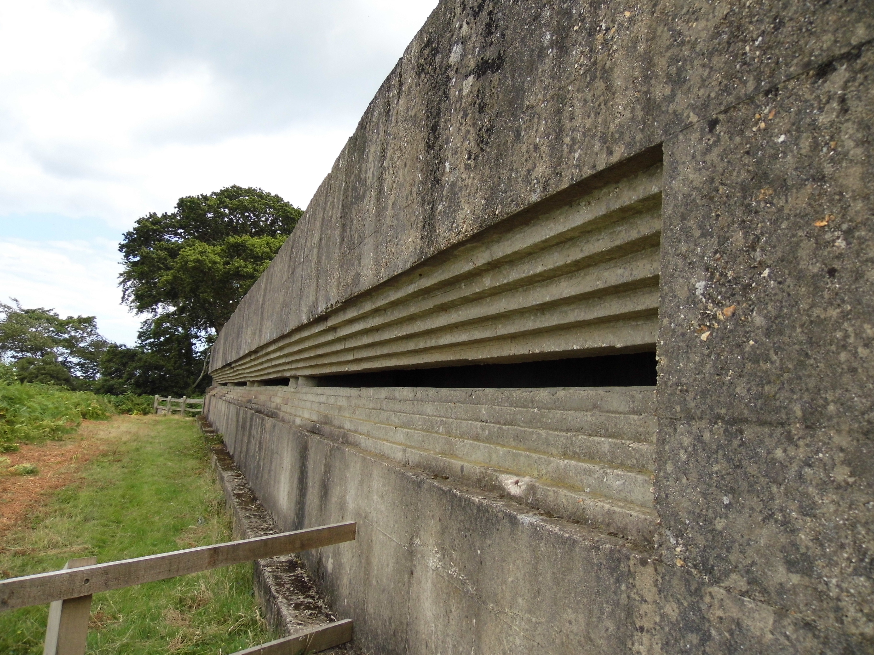
Fort Henry is a World War Two observation bunker overlooking Studland Bay, in Dorset. It was constructed during September-October 1943 by 12 Field Company, Royal Canadian Engineers for Exercise Pirate, the first large scale, live fire, rehearsal for the Normandy Landings. Lieutenant-General H.D.G. Crerar ordered the construction of the observation post for senior officers and politicians to watch the exercise. In 2012, English Heritage Grade II listed the building. Located at the top of Redend Point, on a small sandstone promontory, the bunker is 90 feet (27 m) long with walls, floor and ceiling all 3 feet (0.91 m) thick. There is an 80 feet (24 m) wide recessed observation slit. The origin of the name Fort Henry is unknown, but it is likely named after Fort Henry in Kingston, Ontario. Today, it is owned by the National Trust and forms part of the Studland Beach Second World War walk. An English Heritage spokesman commented following the bunker's listing on 20 November 2012: "Fort Henry provides an impression of the scale and significance of the preparations for D-Day and is associated with the most prominent figures of the Allied forces. "Studland Bay is known for its beaches and wildlife but it is great that its role in the Second World War has now been recognised."
- Category
- Urbex & Abandoned
- Location
- Swanage, United Kingdom
- Coordinates
- 50.64520, -1.94785
- How to get there
- Google MapsApple MapsOpenStreetMap
- Wikidata
- Q5471318
What is Fort Henry?
Fort Henry is a Urbex & Abandoned place on VeroMaps. Other places close by: Haven Hotel, Anvil Point Lighthouse, Arne RSPB reserve, Corfe Castle.
Where is Fort Henry?
Fort Henry is in Swanage, United Kingdom. Coordinates: 50.64520, -1.94785.
How do I get to Fort Henry?
Fort Henry is at Swanage, United Kingdom (50.64520, -1.94785). Enter these coordinates in Google Maps, Apple Maps or OpenStreetMap for walking, cycling or driving directions.