Forgotten History
Fort Harssens
Den Helder, Netherlands
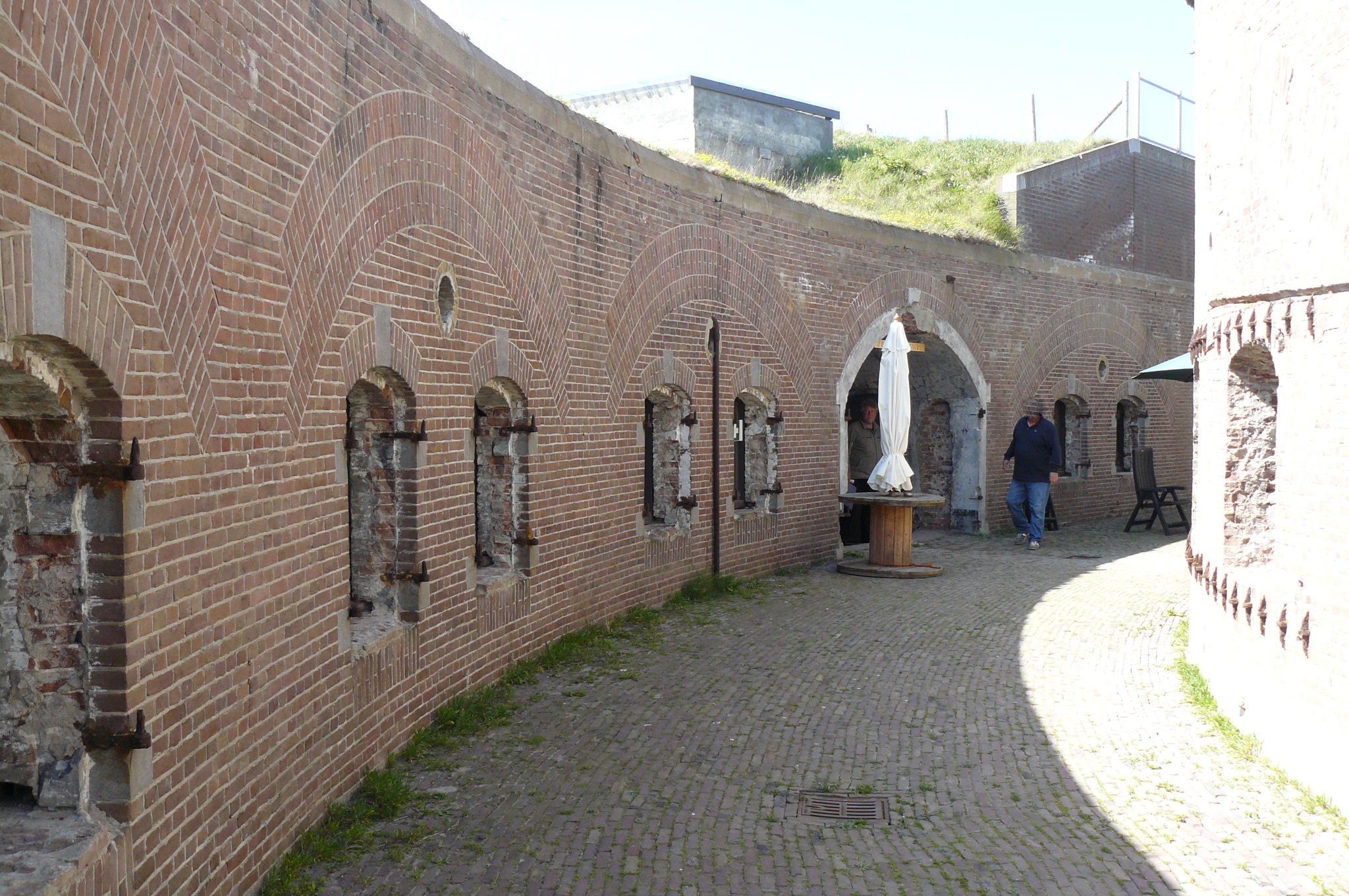
Fort Harssens is a former fortress and museum in Den Helder North-Holland. It protected the naval base Willemsoord. The fortress had 4 heavy naval guns placed in two armored cupolas. Nowadays, the maritime traffic control center sits on top of the fortress.
- Category
- Forgotten History
- Location
- Den Helder, Netherlands
- Coordinates
- 52.96409, 4.78158
- How to get there
- Google MapsApple MapsOpenStreetMap
- Wikidata
- Q2067671
What is Fort Harssens?
Fort Harssens is a Forgotten History place on VeroMaps. Other places close by: OLV Onbevlekt Ontvangen, Water tower in Den Helder, Marinekazerne Erfprins, Fort Kijkduin.
Where is Fort Harssens?
Fort Harssens is in Den Helder, Netherlands. Coordinates: 52.96409, 4.78158.
How do I get to Fort Harssens?
Fort Harssens is at Den Helder, Netherlands (52.96409, 4.78158). Enter these coordinates in Google Maps, Apple Maps or OpenStreetMap for walking, cycling or driving directions.