Forgotten History
Fort Den Haak
Vrouwenpolder, Netherlands
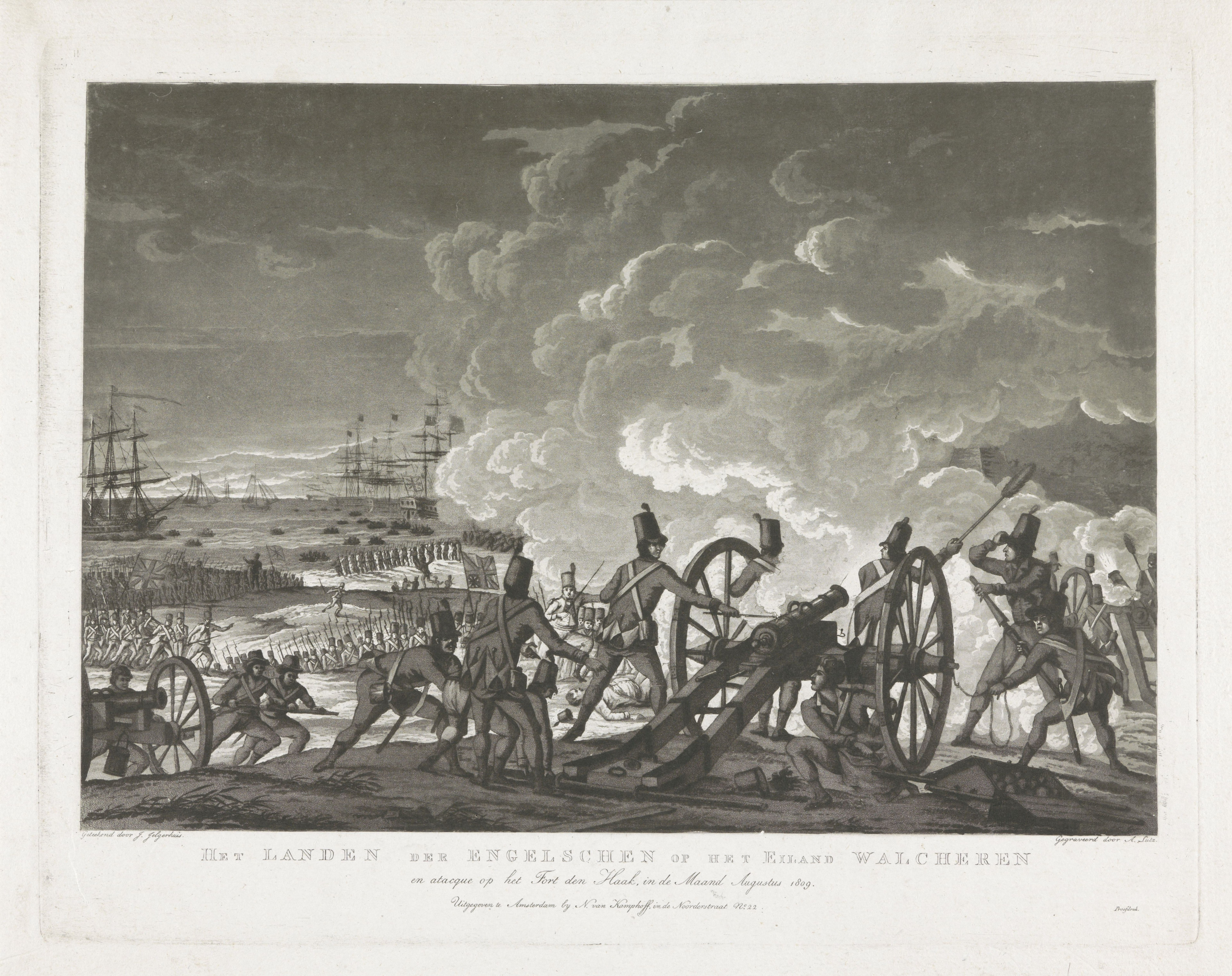
Fort Den Haak is a former fort that was located near Vrouwenpolder on Walcheren. The fort was built in 1588 by order of the States of Zeeland, because there was fear of a Spanish invasion. In the seventeenth century, the fort was damaged by seawater and lost part of its strategic value due to advancing dunes. In 1809, British troops landed close to the fort and it was captured after little resistance.
- Category
- Forgotten History
- Location
- Vrouwenpolder, Netherlands
- Coordinates
- 51.58489, 3.62456
- How to get there
- Google MapsApple MapsOpenStreetMap
- Wikidata
- Q85630327
What is Fort Den Haak?
Fort Den Haak is a Forgotten History place on VeroMaps. Other places close by: Gereformeerde Kerk Vrijgemaakt, De Jonge Johannes, Oranjezon, Zandenburg.
Where is Fort Den Haak?
Fort Den Haak is in Vrouwenpolder, Netherlands. Coordinates: 51.58489, 3.62456.
How do I get to Fort Den Haak?
Fort Den Haak is at Vrouwenpolder, Netherlands (51.58489, 3.62456). Enter these coordinates in Google Maps, Apple Maps or OpenStreetMap for walking, cycling or driving directions.