Forgotten History
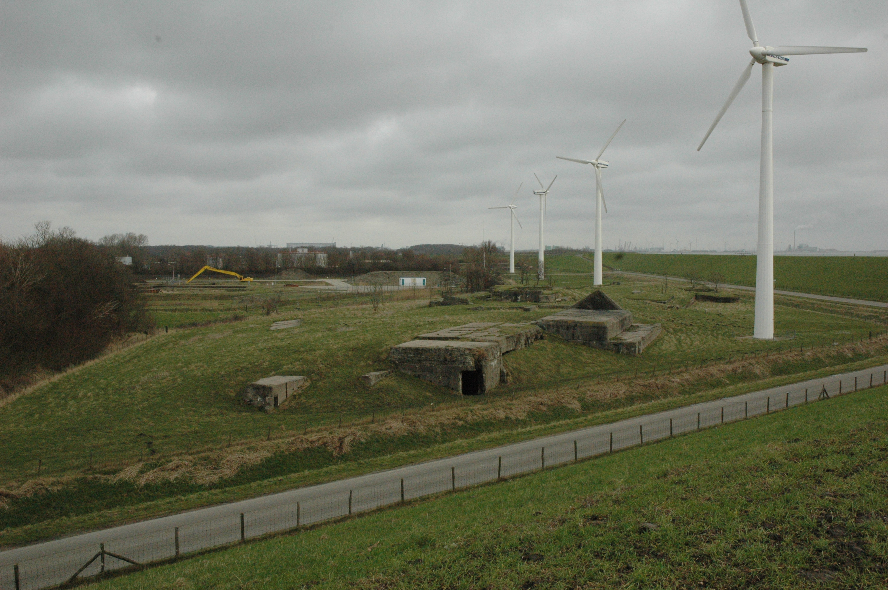
Fort de Ruyter
Vlissingen, Netherlands
Fort de Ruyter lies east of the Outer Harbor in Vlissingen, in Zeeland. It is a never-completed coastal fort, construction of which began in 1913. After work was halted several times, construction of the fort was permanently stopped around the turn of the year 1919-1920. During the Second World War, part of the foundations of Fort de Ruyter was roofed and used as ammunition storage for a German anti-aircraft battery.
- Category
- Forgotten History
- Location
- Vlissingen, Netherlands
- Coordinates
- 51.44161, 3.60969
- How to get there
- Google MapsApple MapsOpenStreetMap
- Wikidata
- Q1905032
What is Fort de Ruyter?
Fort de Ruyter is a Forgotten History place on VeroMaps. Other places close by: Hervormde kerk, Watertoren Oost-Souburg, Keizersbolwerk, Vlissingen, Fountain commemorating Betje Wolff and Aagje Deken.
Where is Fort de Ruyter?
Fort de Ruyter is in Vlissingen, Netherlands. Coordinates: 51.44161, 3.60969.
How do I get to Fort de Ruyter?
Fort de Ruyter is at Vlissingen, Netherlands (51.44161, 3.60969). Enter these coordinates in Google Maps, Apple Maps or OpenStreetMap for walking, cycling or driving directions.