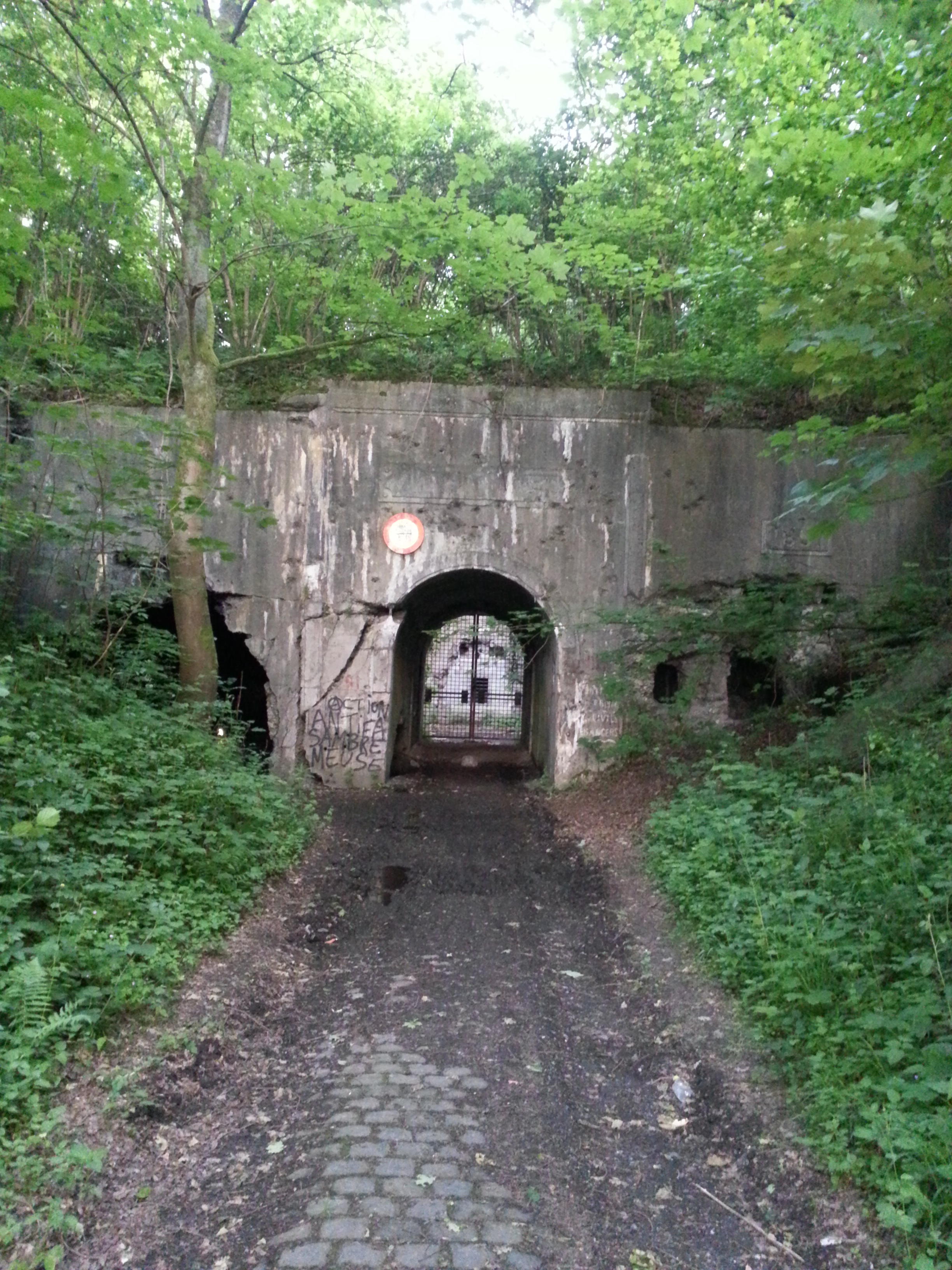
Forgotten History
Fort de Dave
Landen, Belgium
The Fort de Dave is one of nine forts built as part of the Fortifications of Namur in the late 19th century in Belgium. It was built between 1888 and 1892 according to the plans of General Henri Alexis Brialmont.
- Category
- Forgotten History
- Location
- Landen, Belgium
- Coordinates
- 50.42165, 4.88991
- How to get there
- Google MapsApple MapsOpenStreetMap
- Wikidata
- Q3078174
What is Fort de Dave?
Fort de Dave is a Forgotten History place on VeroMaps. Other places close by: Dave Castle, Chapelle Sainte-Madeleine de Wépion, Chapelle canadienne de Namur, Château de Rougemont.
Where is Fort de Dave?
Fort de Dave is in Landen, Belgium. Coordinates: 50.42165, 4.88991.
How do I get to Fort de Dave?
Fort de Dave is at Landen, Belgium (50.42165, 4.88991). Enter these coordinates in Google Maps, Apple Maps or OpenStreetMap for walking, cycling or driving directions.