Forgotten History
Fort de Boncelles
Seraing, Belgium
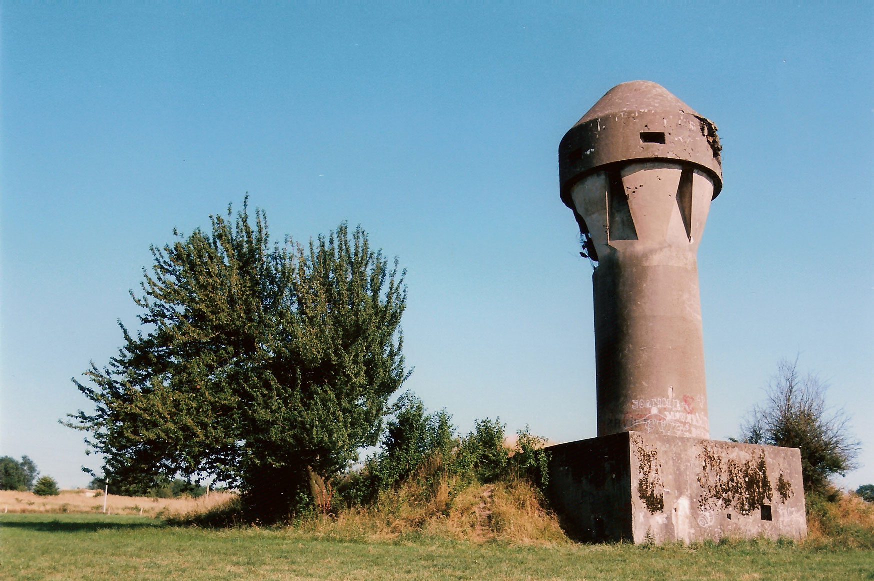
The Fort de Boncelles (French pronunciation: [fɔʁ də bɔ̃sɛl]) is one of twelve forts built around Liège, Belgium, in the late 19th century. The overall Fortified Position of Liège was a constituent part of the country's National Redoubt.
- Category
- Forgotten History
- Location
- Seraing, Belgium
- Coordinates
- 50.57773, 5.52860
- How to get there
- Google MapsApple MapsOpenStreetMap
- Wikidata
- Q2152881
What is Fort de Boncelles?
Fort de Boncelles is a Forgotten History place on VeroMaps. Other places close by: Caves Sainte-Anne, John Cockerill, Castle Antoine, Château de Beaumont, Liège.
Where is Fort de Boncelles?
Fort de Boncelles is in Seraing, Belgium. Coordinates: 50.57773, 5.52860.
How do I get to Fort de Boncelles?
Fort de Boncelles is at Seraing, Belgium (50.57773, 5.52860). Enter these coordinates in Google Maps, Apple Maps or OpenStreetMap for walking, cycling or driving directions.