Forgotten History
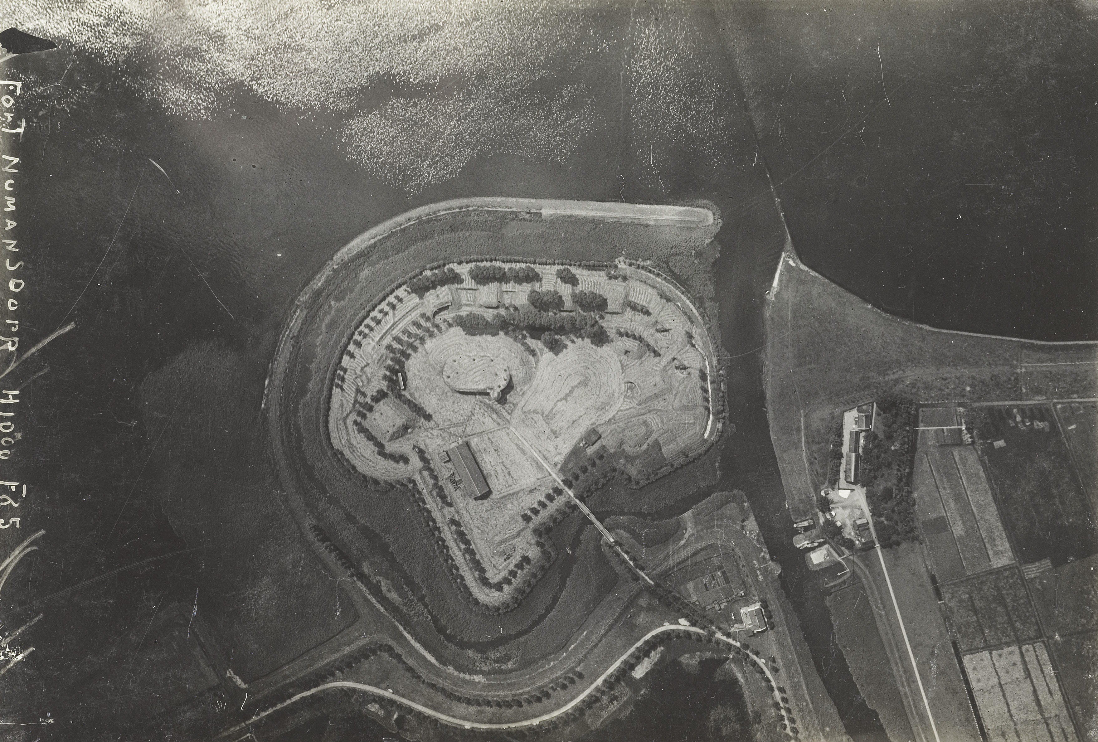
Fort Buitensluis
Oud-Beijerland, Netherlands
Fort Buitensluis is a fort located on the Hollandsch Diep in Numansdorp. It was part of the Defense Line of the Hollandsch Diep and the Volkerak and it still exists. In 1793, a defensible earthwork was constructed next to the harbor of Numansdorp, in front of the lock of the harbor and this determined the name. The purpose of this was to monitor shipping between the Volkerak and the Hollandsch Diep.
- Category
- Forgotten History
- Location
- Oud-Beijerland, Netherlands
- Coordinates
- 51.71667, 4.43917
- How to get there
- Google MapsApple MapsOpenStreetMap
- Wikidata
- Q109267242
What is Fort Buitensluis?
Fort Buitensluis is a Forgotten History place on VeroMaps. Other places close by: Vestingwerken Willemstad, Haringvlietbrug, Heilige Maagd Mariakerk, Fort de Hel.
Where is Fort Buitensluis?
Fort Buitensluis is in Oud-Beijerland, Netherlands. Coordinates: 51.71667, 4.43917.
How do I get to Fort Buitensluis?
Fort Buitensluis is at Oud-Beijerland, Netherlands (51.71667, 4.43917). Enter these coordinates in Google Maps, Apple Maps or OpenStreetMap for walking, cycling or driving directions.