Photo corners
Forlandet National Park
Svalbard, Norway
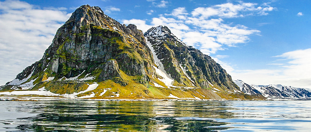
Forlandet National Park lies on the Norwegian archipelago of Svalbard. The park was created by a royal resolution on 1 June 1973 and covers the entire island of Prins Karls Forland and well as the sea around it. The Norwegian national park has an area of 616 km2 and a marine area of 4031 km2. This area is recognized for the world's most northerly range of seals and also the world's most northerly population of common guillemot. In the region there are numerous archeological remains from Norwegian and Russian hunters and whalers. Forlandsøyane Bird Sanctuary inside the park has been recognised as a wetland of international importance by designation under the Ramsar Convention. The national park has also been identified as an Important Bird Area (IBA) by BirdLife International because it supports breeding populations of barnacle geese, common eiders and black guillemots.
- Category
- Photo Spots
- Location
- Svalbard, Norway
- Coordinates
- 78.55000, 11.11667
- How to get there
- Google MapsApple MapsOpenStreetMap
- Wikidata
- Q1437363
What is Forlandet National Park?
Forlandet National Park is a Photo Spots place on VeroMaps. Other places close by: Ny-London, Ossian Sars Nature Reserve.
Where is Forlandet National Park?
Forlandet National Park is in Svalbard, Norway. Coordinates: 78.55000, 11.11667.
How do I get to Forlandet National Park?
Forlandet National Park is at Svalbard, Norway (78.55000, 11.11667). Enter these coordinates in Google Maps, Apple Maps or OpenStreetMap for walking, cycling or driving directions.