Urbex & Abandoned
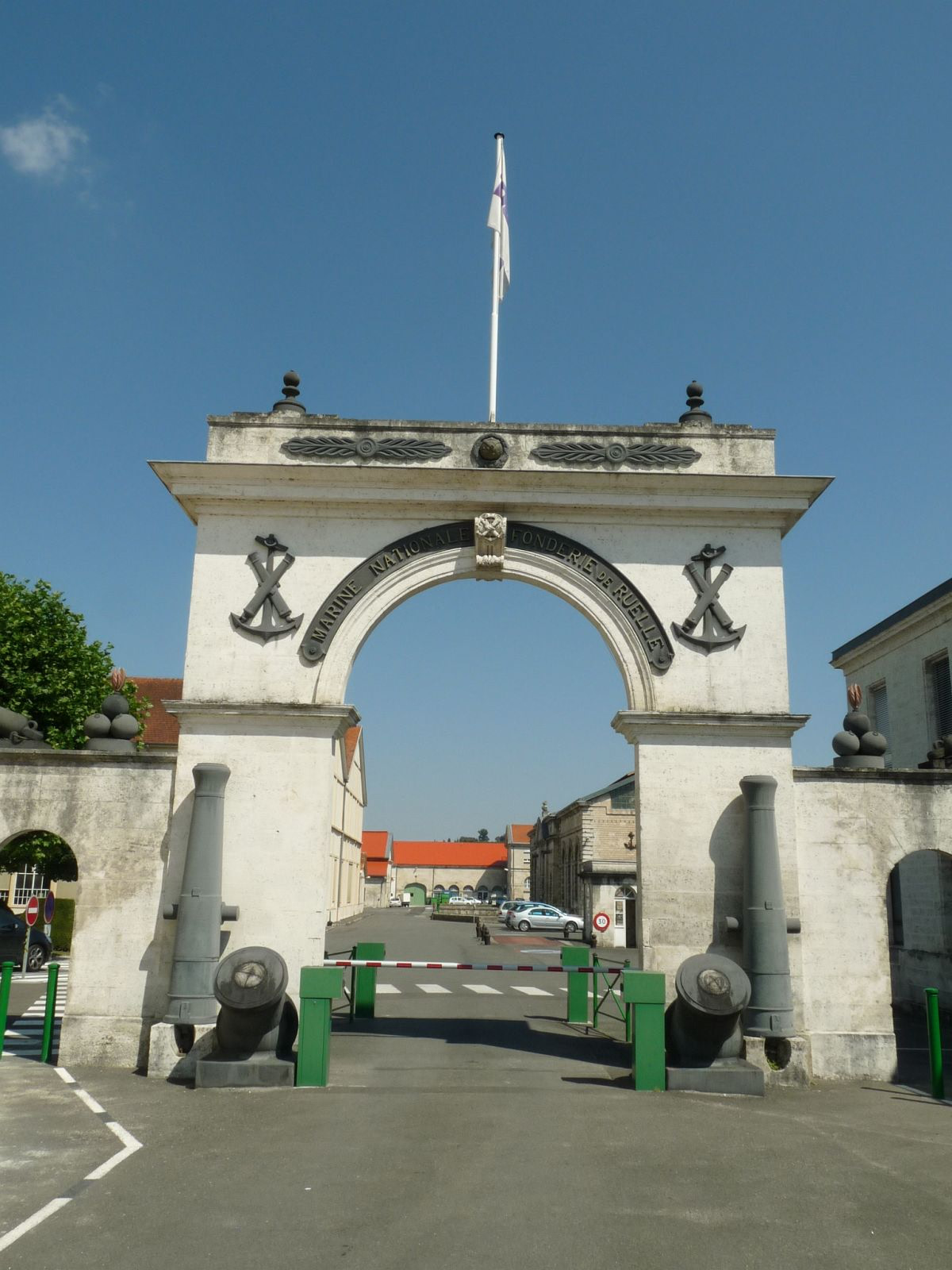
Fonderie de Ruelle
France
The Ruelle Foundry or fonderie de Ruelle is a cannon foundry which was established in 1753. Since then, it has played a major role in providing weapons for the French Armed Forces. As cannons fell out of popular use, the foundry evolved to specialize in producing guided missiles. It is now part of Naval Group.
- Category
- Urbex & Abandoned
- Location
- France
- Coordinates
- 45.67833, 0.22333
- How to get there
- Google MapsApple MapsOpenStreetMap
- Wikidata
- Q3075756
What is Fonderie de Ruelle?
Fonderie de Ruelle is a Urbex & Abandoned place on VeroMaps. Other places close by: Sentier botanique de Soyaux, Château du Puy Vidal, Château de l'Oisellerie, Château de Vouzan.
Where is Fonderie de Ruelle?
Fonderie de Ruelle is in France. Coordinates: 45.67833, 0.22333.
How do I get to Fonderie de Ruelle?
Fonderie de Ruelle is at France (45.67833, 0.22333). Enter these coordinates in Google Maps, Apple Maps or OpenStreetMap for walking, cycling or driving directions.