Photo corners
Folgefonna National Park
Etne Municipality, Norway
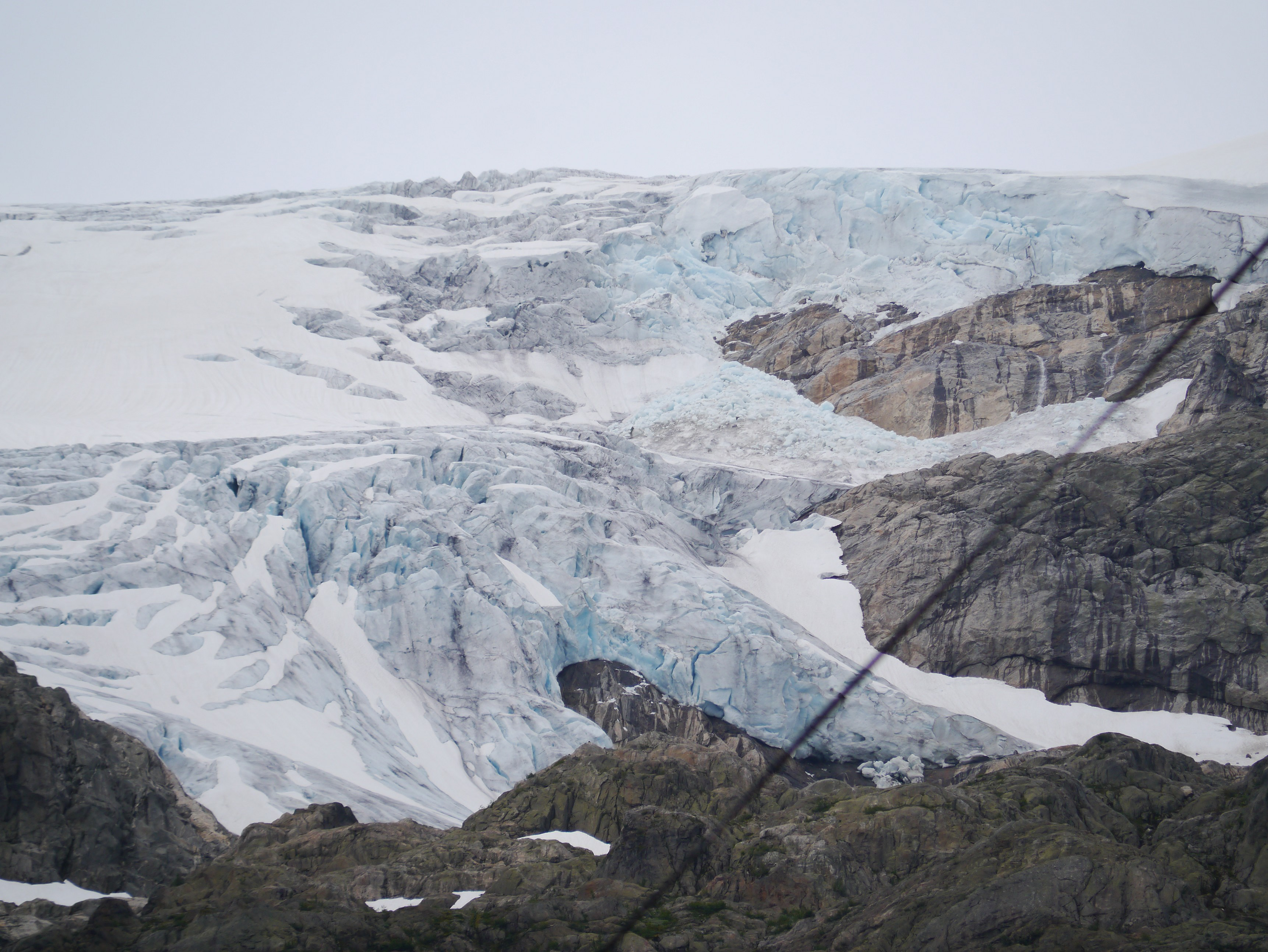
Folgefonna National Park (Norwegian: Folgefonna nasjonalpark) is a 545. 2-square-kilometre (210. 5 sq mi) national park in Vestland county, Norway. The park is located on the Folgefonna peninsula, and it spans the municipalities of Kvinnherad, Etne, and Ullensvang.
- Category
- Photo Spots
- Location
- Etne Municipality, Norway
- Coordinates
- 60.00000, 6.33306
- How to get there
- Google MapsApple MapsOpenStreetMap
- Wikidata
- Q164798
What is Folgefonna National Park?
Folgefonna National Park is a Photo Spots place on VeroMaps. Other places close by: Allmannajuvet, Sauda Smelteverk, Økshamaren fyrstasjon, Fløien Folkerestaurant.
Where is Folgefonna National Park?
Folgefonna National Park is in Etne Municipality, Norway. Coordinates: 60.00000, 6.33306.
How do I get to Folgefonna National Park?
Folgefonna National Park is at Etne Municipality, Norway (60.00000, 6.33306). Enter these coordinates in Google Maps, Apple Maps or OpenStreetMap for walking, cycling or driving directions.