Photo corners
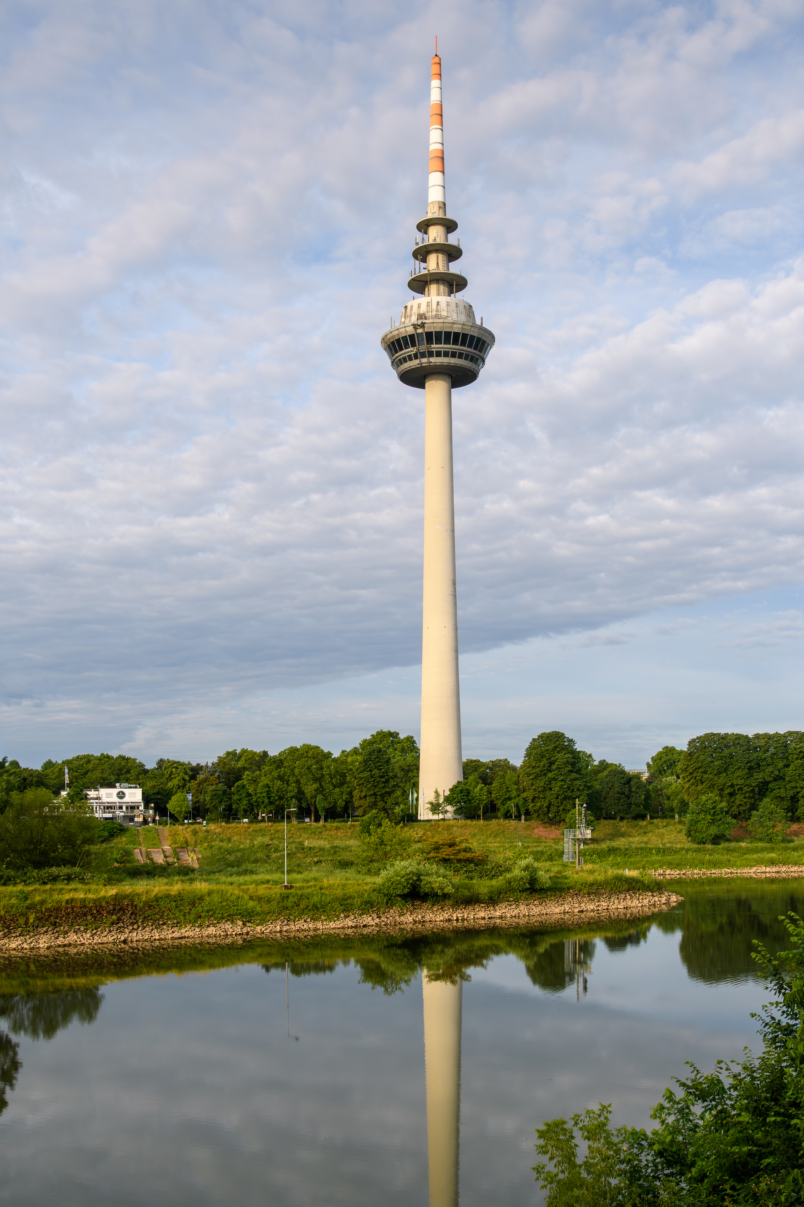
Fernmeldeturm Mannheim
Hans-Reschke-Ufer, Germany
The Fernmeldeturm Mannheim is a 217.8-metre-high (715 ft) concrete telecommunication tower with an observation deck in Mannheim, Germany. It was designed by the architects Heinle, Wischer und Partner and built from 1973 to 1975. It contains transmission facilities for VHF radio services, microwave communications, and omnidirectional radio services. A glassed observation deck and a revolving restaurant at a height of 120 metres allow a nice view over Mannheim and the surrounding area. The tower is a modern landmark of the city of Mannheim. In December 1994 a German SAR Army helicopter returning from a medical patient transfer mission collided with the top of the tower and fell to the ground. The crew of four people died instantly. Parts of the top of the tower were disconnected and also fell to the ground.
- Category
- Photo Spots
- Location
- Hans-Reschke-Ufer, Germany
- Coordinates
- 49.48694, 8.49222
- How to get there
- Google MapsApple MapsOpenStreetMap
- Wikidata
- Q1244227
What is Fernmeldeturm Mannheim?
Fernmeldeturm Mannheim is a Photo Spots place on VeroMaps. Other places close by: Luisenpark, Watertower of Mannheim, Alte Feuerwache, Marktplatzbrunnen (Mannheim).
Where is Fernmeldeturm Mannheim?
Fernmeldeturm Mannheim is in Hans-Reschke-Ufer, Germany. Coordinates: 49.48694, 8.49222.
How do I get to Fernmeldeturm Mannheim?
Fernmeldeturm Mannheim is at Hans-Reschke-Ufer, Germany (49.48694, 8.49222). Enter these coordinates in Google Maps, Apple Maps or OpenStreetMap for walking, cycling or driving directions.