Photo corners
Far de Na Pòpia
Andratx, Spain
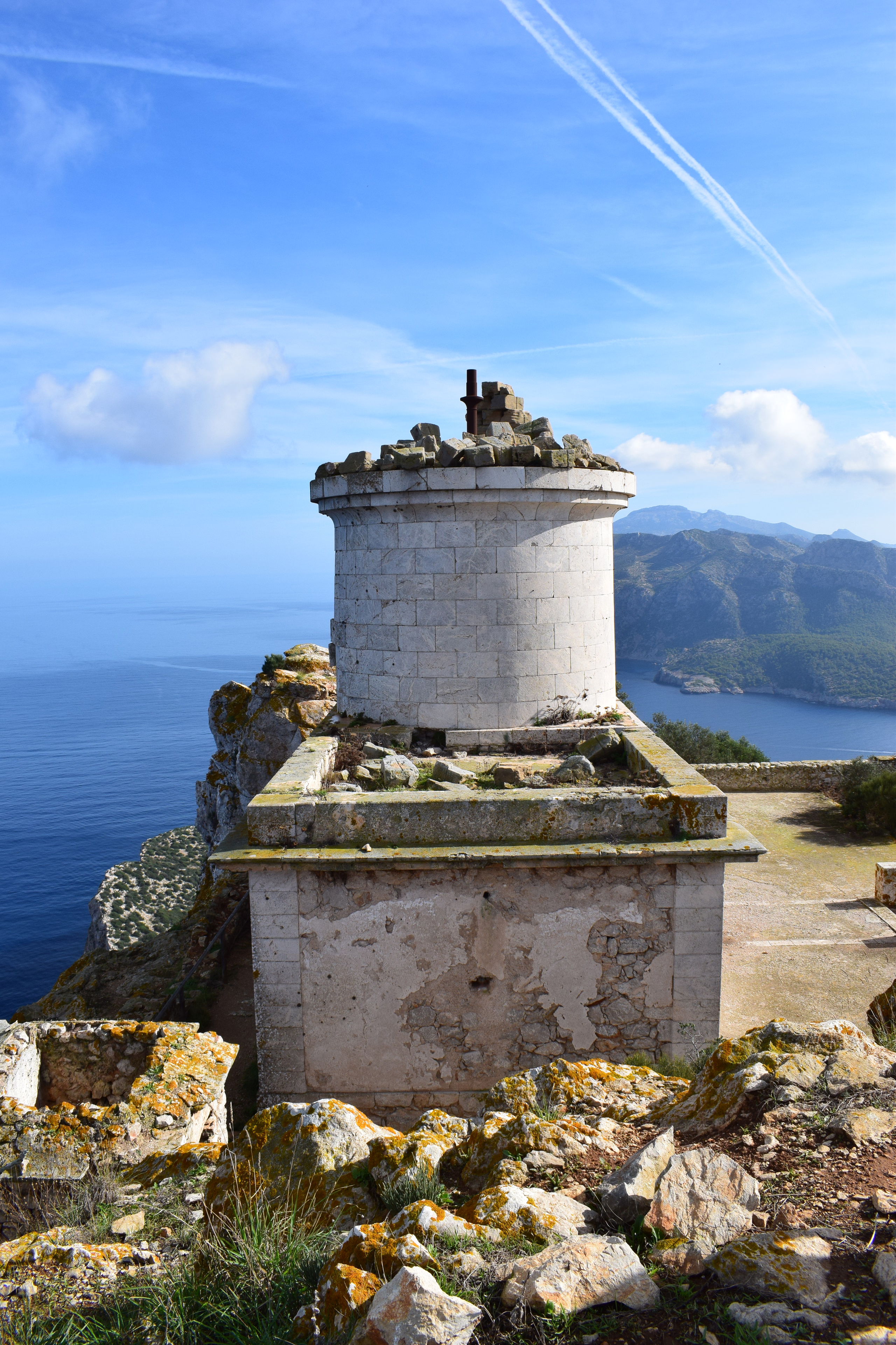
Der Far de Na Pòpia ist ein Leuchtturm auf der Insel Sa Dragonera, die vor der Westspitze der Baleareninsel Mallorca liegt und zur Gemeinde Andratx gehört. Er ist Spaniens Leuchtturm mit der höchsten Feuerhöhe, wurde aber bereits 1910 außer Betrieb gesetzt und ist heute nur noch als Ruine vorhanden.
- Category
- Photo Spots
- Location
- Andratx, Spain
- Coordinates
- 39.58656, 2.31717
- How to get there
- Google MapsApple MapsOpenStreetMap
- Wikidata
- Q29949348
What is Far de Na Pòpia?
Far de Na Pòpia is a Photo Spots place on VeroMaps. Other places close by: Far de Llebeig, Far de Tramuntana, Sa Mola Lighthouse, Capella de la Pedra Sagrada.
Where is Far de Na Pòpia?
Far de Na Pòpia is in Andratx, Spain. Coordinates: 39.58656, 2.31717.
How do I get to Far de Na Pòpia?
Far de Na Pòpia is at Andratx, Spain (39.58656, 2.31717). Enter these coordinates in Google Maps, Apple Maps or OpenStreetMap for walking, cycling or driving directions.