Photo corners
Emmensteg
Emmental administrative district, Switzerland
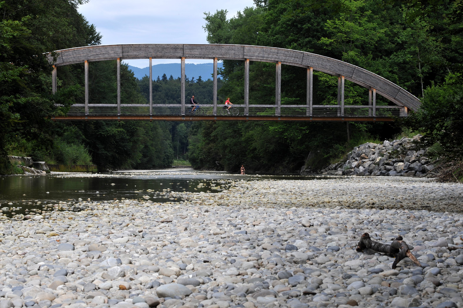
Der Emmensteg war mit einer Länge von 107 m die längste Holzbrücke über die Emme. Sie verband die Gemeinden Utzenstorf und Bätterkinden, unterhalb der Einmündungen des Urtenenkanals (Westufer) und des Mülibachs (Ostufer). Sie befand sich somit leicht flussabwärts, unterhalb des Schlosses Landshut.
- Category
- Photo Spots
- Location
- Emmental administrative district, Switzerland
- Coordinates
- 47.15120, 7.54470
- How to get there
- Google MapsApple MapsOpenStreetMap
- Wikidata
- Q1338569
What is Emmensteg?
Emmensteg is a Photo Spots place on VeroMaps. Other places close by: Genossenschaft Kreuz, Loretokapelle, Balm ruins, Leprosarium and Chapel.
Where is Emmensteg?
Emmensteg is in Emmental administrative district, Switzerland. Coordinates: 47.15120, 7.54470.
How do I get to Emmensteg?
Emmensteg is at Emmental administrative district, Switzerland (47.15120, 7.54470). Enter these coordinates in Google Maps, Apple Maps or OpenStreetMap for walking, cycling or driving directions.