Urbex & Abandoned
El Chino Mine
New Mexico, United States
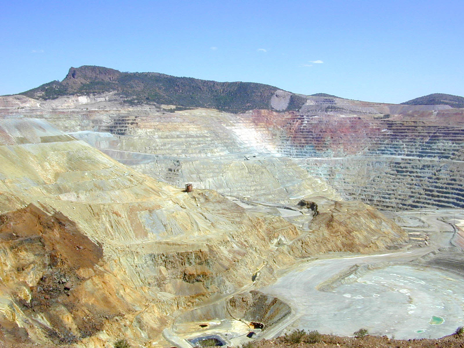
The Chino Mine ("Chino" is Spanish for the "Chinese"), also known as the Santa Rita mine or Santa Rita del Cobre, is an American open-pit porphyry copper mine located in the town of Santa Rita, New Mexico 15 miles (24 km) east of Silver City. The mine was started as the Chino Copper Company in 1909 by mining engineer John M. Sully and Spencer Penrose, and is currently owned and operated by Freeport-McMoRan Inc. subsidiaries. The area where the mine is located is at an average elevation of 5,699 feet (1,737 m). Apaches, Spaniards, Mexicans, and Americans have all obtained native copper and copper ore from this site. The present-day open-pit mining operation was begun in 1910. It is the third oldest active open pit copper mine in the world after the Bingham Canyon Mine and Chuquicamata.
- Category
- Urbex & Abandoned
- Location
- New Mexico, United States
- Coordinates
- 32.79170, -108.06700
- How to get there
- Google MapsApple MapsOpenStreetMap
- Wikidata
- Q5351019
What is El Chino Mine?
El Chino Mine is a Urbex & Abandoned place on VeroMaps.
Where is El Chino Mine?
El Chino Mine is in New Mexico, United States. Coordinates: 32.79170, -108.06700.
How do I get to El Chino Mine?
El Chino Mine is at New Mexico, United States (32.79170, -108.06700). Enter these coordinates in Google Maps, Apple Maps or OpenStreetMap for walking, cycling or driving directions.