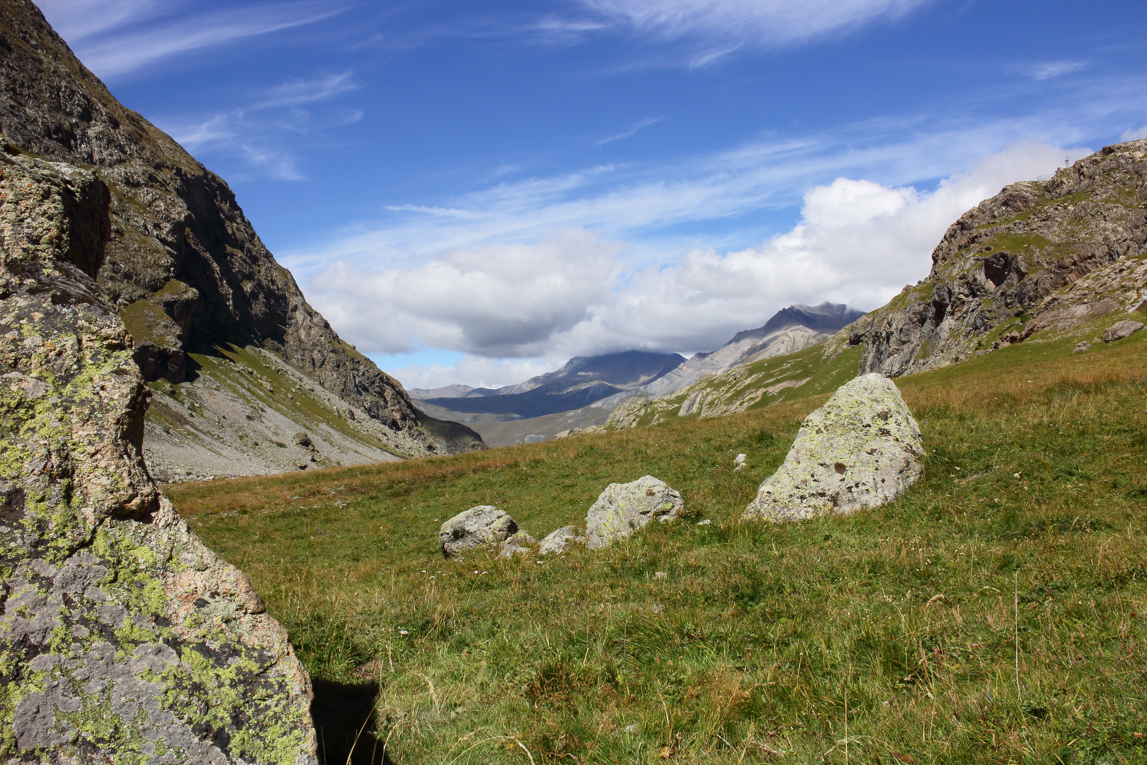
Photo corners
Écrins National Park
Les Deux Alpes, France
Écrins National Park (French: parc national des Écrins, pronounced [paʁk nɑsjɔnal dez‿ekʁɛ̃]; Occitan: parc Nacional dels Escrinhs) is a French national park located in the southeastern part of France in the Dauphiné Alps south of Grenoble and north of Gap, shared between the departments of Isère and Hautes-Alpes. The park is one of eight regions in France designated as French national parks.
- Category
- Photo Spots
- Location
- Les Deux Alpes, France
- Coordinates
- 44.85583, 6.26361
- How to get there
- Google MapsApple MapsOpenStreetMap
- Wikidata
- Q476446
What is Écrins National Park?
Écrins National Park is a Photo Spots place on VeroMaps. Other places close by: Lautaret Garden, Herpie mine, grotte Théophile, Fontaine de Chorges.
Where is Écrins National Park?
Écrins National Park is in Les Deux Alpes, France. Coordinates: 44.85583, 6.26361.
How do I get to Écrins National Park?
Écrins National Park is at Les Deux Alpes, France (44.85583, 6.26361). Enter these coordinates in Google Maps, Apple Maps or OpenStreetMap for walking, cycling or driving directions.