Forgotten History
Dun Ringill
Isle of Skye, United Kingdom
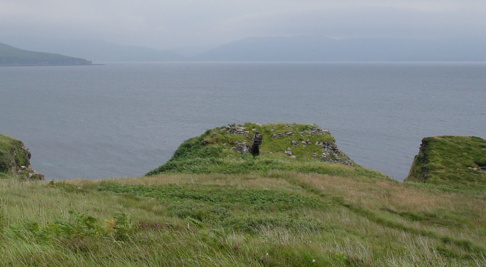
Dun Ringill (Gaelic: Dùn, 'fort', Ringill, 'point of the ravine') is an Iron Age hill fort on the Strathaird peninsula on the island of Skye, Scotland. Further fortified in the Middle Ages, tradition holds that it was for several centuries the seat of Clan MacKinnon. It is located east of Kirkibost on the west shore of Loch Slapin.
- Category
- Forgotten History
- Location
- Isle of Skye, United Kingdom
- Coordinates
- 57.17948, -6.03594
- How to get there
- Google MapsApple MapsOpenStreetMap
- Wikidata
- Q1265223
What is Dun Ringill?
Dun Ringill is a Forgotten History place on VeroMaps. Other places close by: Clach Na H-annait, Dunscaith Castle, Knock Castle, Point of Sleat Lighthouse.
Where is Dun Ringill?
Dun Ringill is in Isle of Skye, United Kingdom. Coordinates: 57.17948, -6.03594.
How do I get to Dun Ringill?
Dun Ringill is at Isle of Skye, United Kingdom (57.17948, -6.03594). Enter these coordinates in Google Maps, Apple Maps or OpenStreetMap for walking, cycling or driving directions.