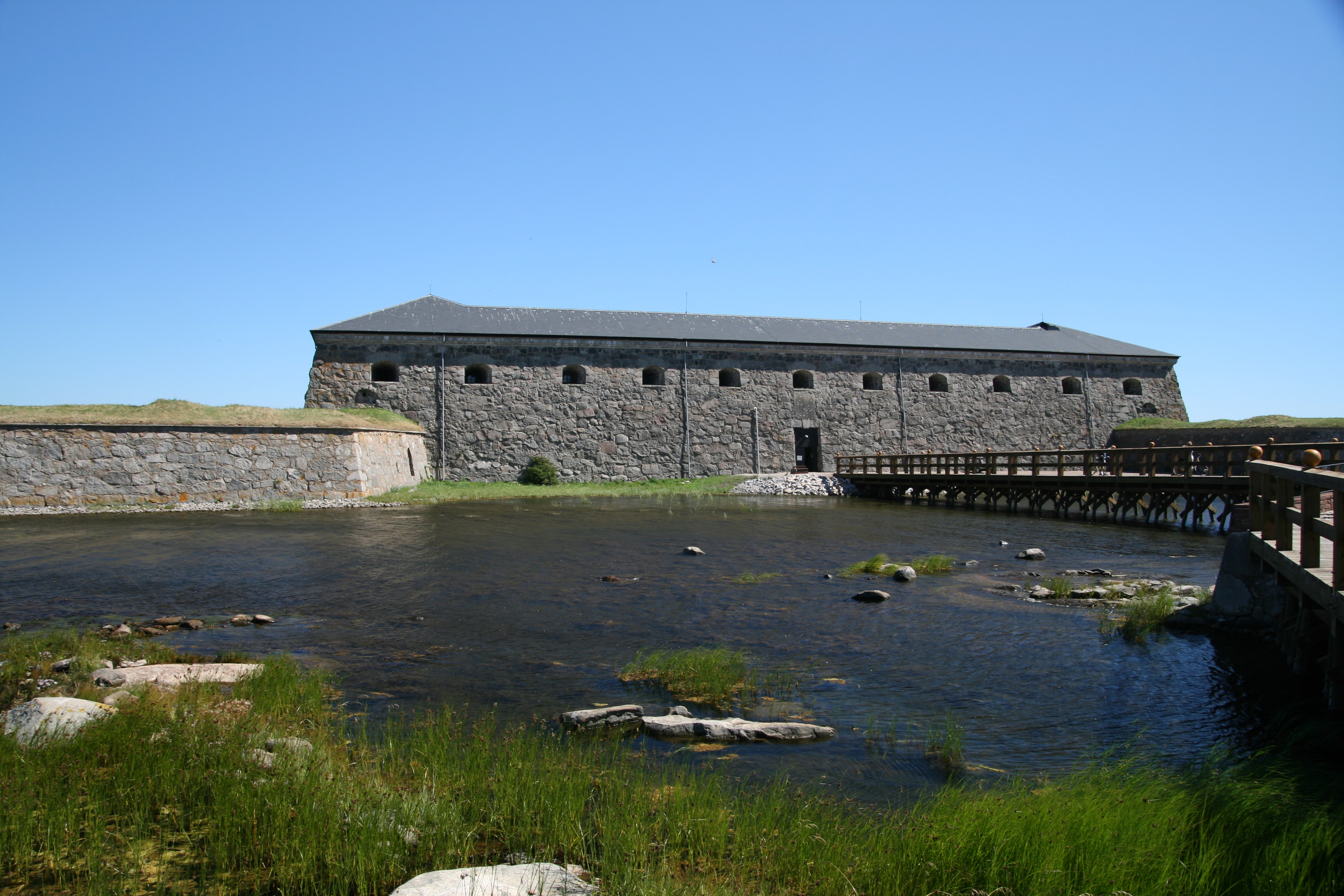
Forgotten History
Drottningskär Citadel
Karlskrona Municipality, Sweden
Met de bouw van het Kasteel Drottningskär (Zweeds: Drottningskärs kastell) werd in 1680 een aanvang gemaakt. Het moest de belangrijke vaarweg naar de nieuwe marinebasis in Karlskrona beschermen. Aan de andere kant van de vaarweg werd nog een groter fort gebouwd.
- Category
- Forgotten History
- Location
- Karlskrona Municipality, Sweden
- Coordinates
- 56.11017, 15.56434
- How to get there
- Google MapsApple MapsOpenStreetMap
- Wikidata
- Q10477004
What is Drottningskär Citadel?
Drottningskär Citadel is a Forgotten History place on VeroMaps. Other places close by: Vattenborgen, Hjortahammars grave field, Skärva House, Hjortsberga grave field.
Where is Drottningskär Citadel?
Drottningskär Citadel is in Karlskrona Municipality, Sweden. Coordinates: 56.11017, 15.56434.
How do I get to Drottningskär Citadel?
Drottningskär Citadel is at Karlskrona Municipality, Sweden (56.11017, 15.56434). Enter these coordinates in Google Maps, Apple Maps or OpenStreetMap for walking, cycling or driving directions.