Photo corners
Doxey Marshes
Staffordshire, United Kingdom
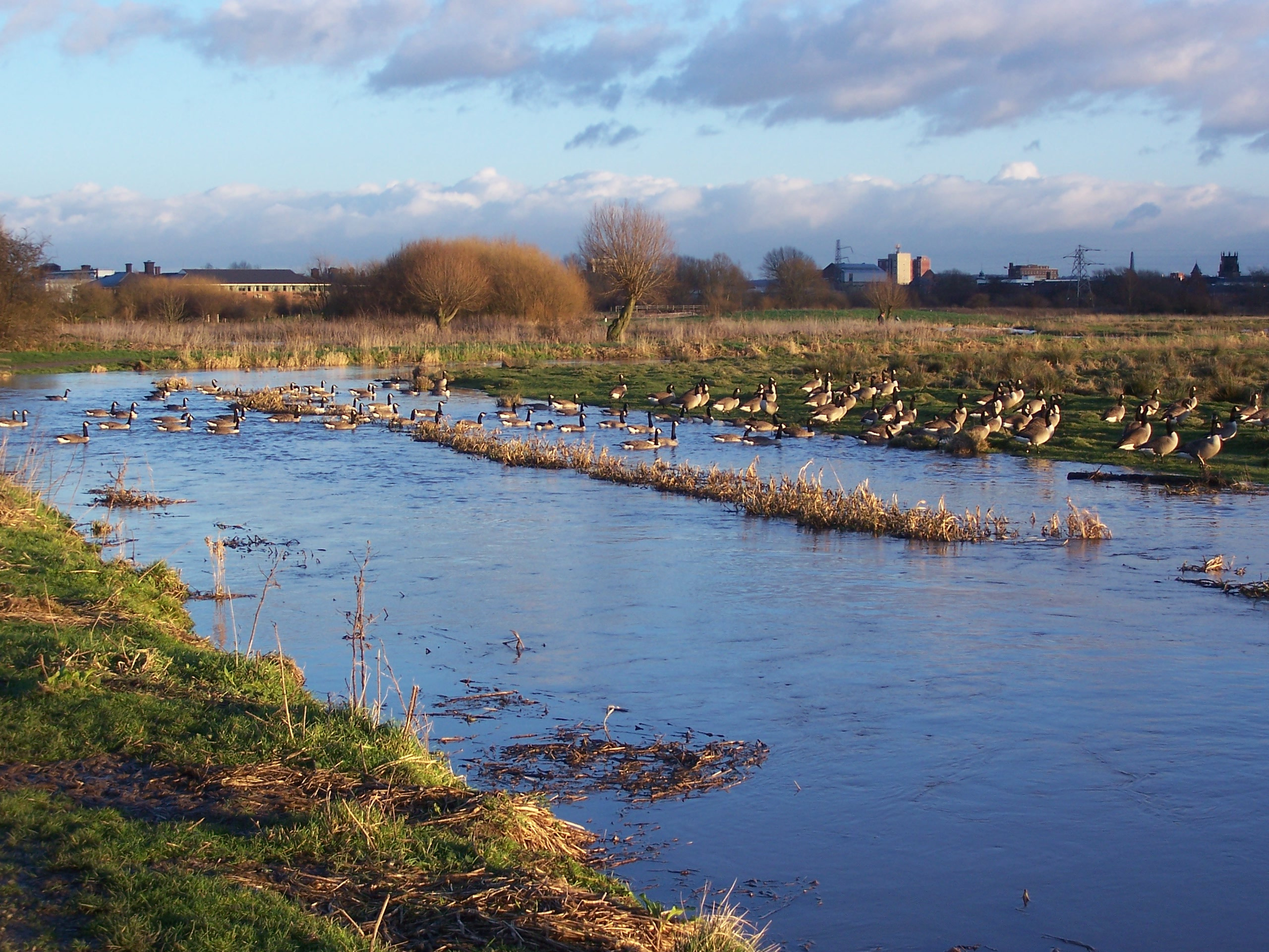
Doxey Marshes is a 150 hectares (370 acres) nature reserve located within two miles of Stafford town centre, and is managed by Staffordshire Wildlife Trust. Designated as a Site of Special Scientific Interest for its wet grassland habitat and its breeding wading birds and wildfowl, it is particularly noted for its populations of breeding snipe. The habitat is one of the most threatened nationally, along with related wildlife such as snipe, lapwing, little ringed plover, otter and water shrew.
- Category
- Photo Spots
- Location
- Staffordshire, United Kingdom
- Coordinates
- 52.81600, -2.13700
- How to get there
- Google MapsApple MapsOpenStreetMap
- Wikidata
- Q5303690
What is Doxey Marshes?
Doxey Marshes is a Photo Spots place on VeroMaps. Other places close by: Picture House, Stafford Castle, ROF Swynnerton, Keele Hall.
Where is Doxey Marshes?
Doxey Marshes is in Staffordshire, United Kingdom. Coordinates: 52.81600, -2.13700.
How do I get to Doxey Marshes?
Doxey Marshes is at Staffordshire, United Kingdom (52.81600, -2.13700). Enter these coordinates in Google Maps, Apple Maps or OpenStreetMap for walking, cycling or driving directions.