Urbex & Abandoned
Döllersheim
Pölla, Austria
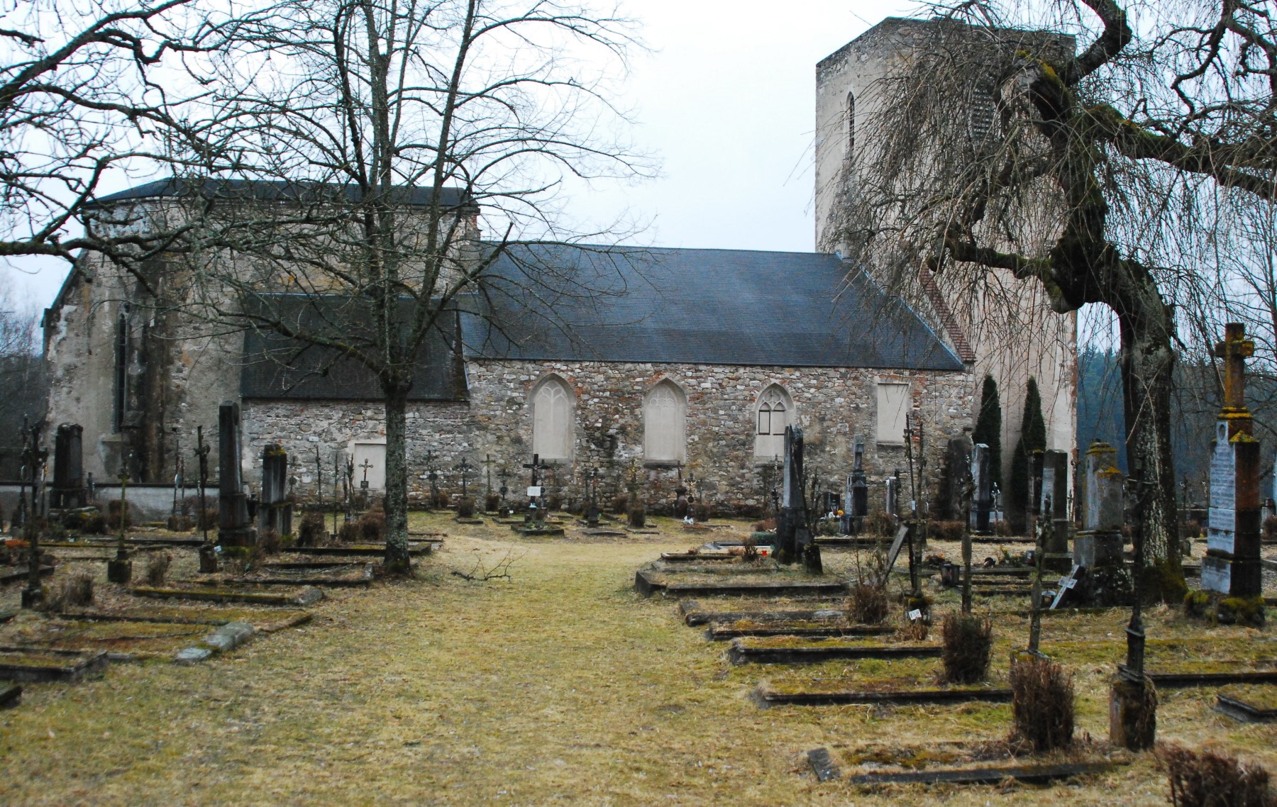
Döllersheim is an abandoned village in the Austrian state of Lower Austria, located in the rural Waldviertel region about 110 km (68 mi) northwest of Vienna. It was evacuated in 1938 to make way for a Wehrmacht training ground. Since 1 January 1964 it has been a Katastralgemeinde of the Pölla municipality in the Zwettl District.
- Category
- Urbex & Abandoned
- Location
- Pölla, Austria
- Coordinates
- 48.62014, 15.30920
- How to get there
- Google MapsApple MapsOpenStreetMap
- Wikidata
- Q689583
What is Döllersheim?
Döllersheim is a Urbex & Abandoned place on VeroMaps. Other places close by: Burg Ottenstein, Dietreichs, Oberndorf, Walthers.
Where is Döllersheim?
Döllersheim is in Pölla, Austria. Coordinates: 48.62014, 15.30920.
How do I get to Döllersheim?
Döllersheim is at Pölla, Austria (48.62014, 15.30920). Enter these coordinates in Google Maps, Apple Maps or OpenStreetMap for walking, cycling or driving directions.