Photo corners
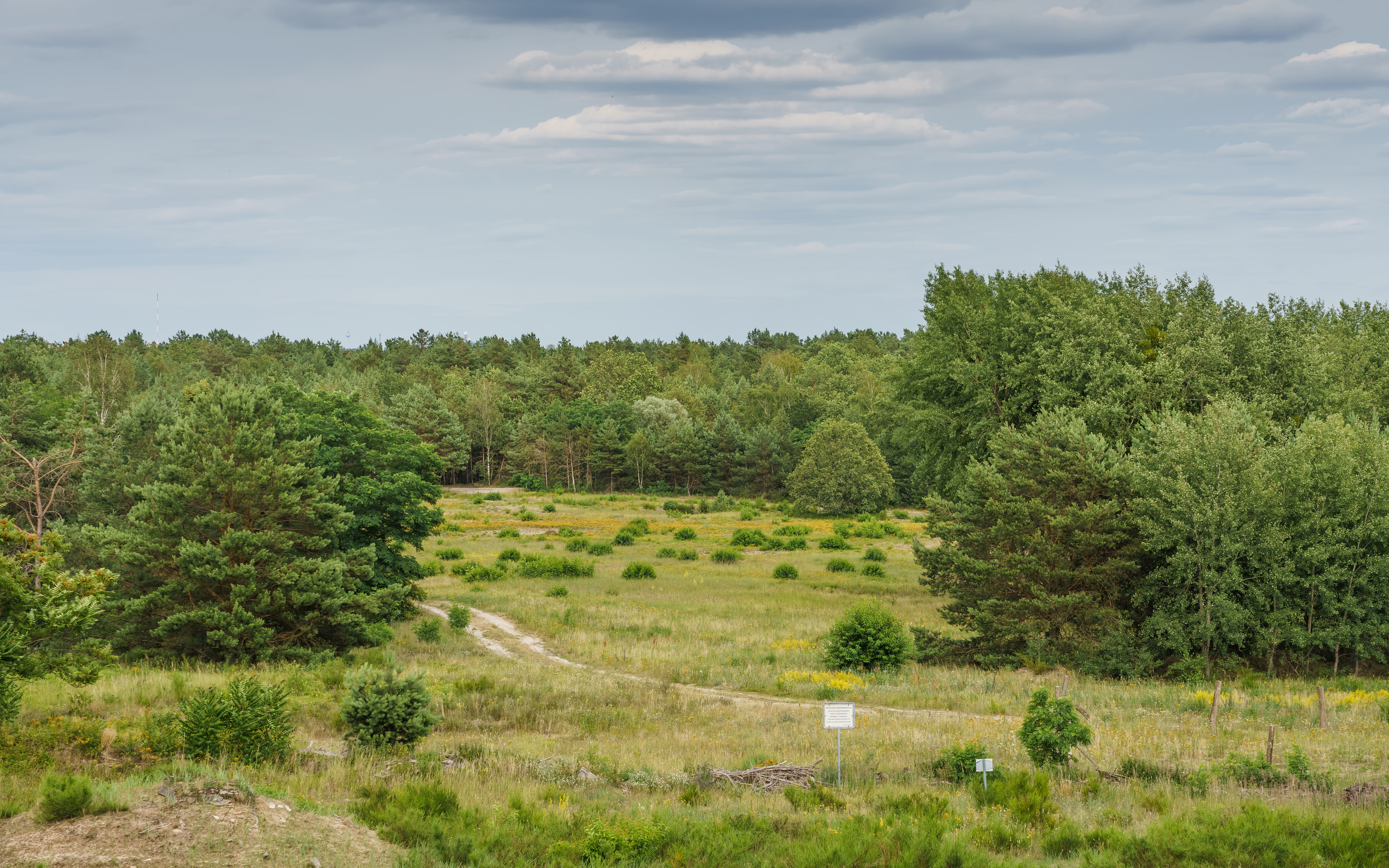
Döberitzer Heide
Brandenburg, Germany
The Döberitzer Heide is an approximately 5000-hectare area in the Havelland region, part of the southeastern Nauen Plateau. The area mainly consists of the former Döberitz military training area, which has been designated as nature reserves and hosts a wilderness project by The Heinz Sielmann Foundation covering about 3600 hectares, unique in Europe. The heathland is located west of the Berlin city border and south of the Bundesstraße 5 between Dallgow-Döberitz and the district of Seeburg as well as the Wustermark districts of Elstal and Priort. A small part in the southwest lies within Potsdam territory.
- Category
- Photo Spots
- Location
- Brandenburg, Germany
- Coordinates
- 52.49820, 13.04560
- How to get there
- Google MapsApple MapsOpenStreetMap
- Wikidata
- Q1270893
What is Döberitzer Heide?
Döberitzer Heide is a Photo Spots place on VeroMaps. Other places close by: Fahrland post mill, Offizierskasino Dallgow-Döberitz, Fort Hahneberg, Schloss Sacrow.
Where is Döberitzer Heide?
Döberitzer Heide is in Brandenburg, Germany. Coordinates: 52.49820, 13.04560.
How do I get to Döberitzer Heide?
Döberitzer Heide is at Brandenburg, Germany (52.49820, 13.04560). Enter these coordinates in Google Maps, Apple Maps or OpenStreetMap for walking, cycling or driving directions.