Local Legends
Devils Hole
Nye County, United States
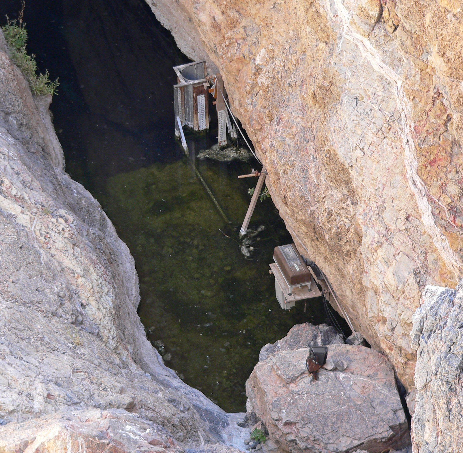
Devils Hole is a geologic formation located in a detached unit of Death Valley National Park and surrounded by the Ash Meadows National Wildlife Refuge, in Nye County, Nevada, in the Southwestern United States. Devils Hole is habitat for the only naturally occurring population of the endangered Devils Hole pupfish (Cyprinodon diabolis). The 40 acres (16 ha) unit is part of the Ash Meadows complex, an area of desert uplands and spring-fed oases that was designated as a National Wildlife Refuge in 1984. In 1952 President Harry Truman added Devils Hole to what was then Death Valley National Monument.
- Category
- Local Legends
- Location
- Nye County, United States
- Coordinates
- 36.42540, -116.29137
- How to get there
- Google MapsApple MapsOpenStreetMap
- Wikidata
- Q629140
What is Devils Hole?
Devils Hole is a Local Legends place on VeroMaps. Other places close by: Arizona Charlie's Decatur, Southern Nevada Zoological-Botanical Park, The Orleans, Gold Coast Hotel and Casino.
Where is Devils Hole?
Devils Hole is in Nye County, United States. Coordinates: 36.42540, -116.29137.
How do I get to Devils Hole?
Devils Hole is at Nye County, United States (36.42540, -116.29137). Enter these coordinates in Google Maps, Apple Maps or OpenStreetMap for walking, cycling or driving directions.