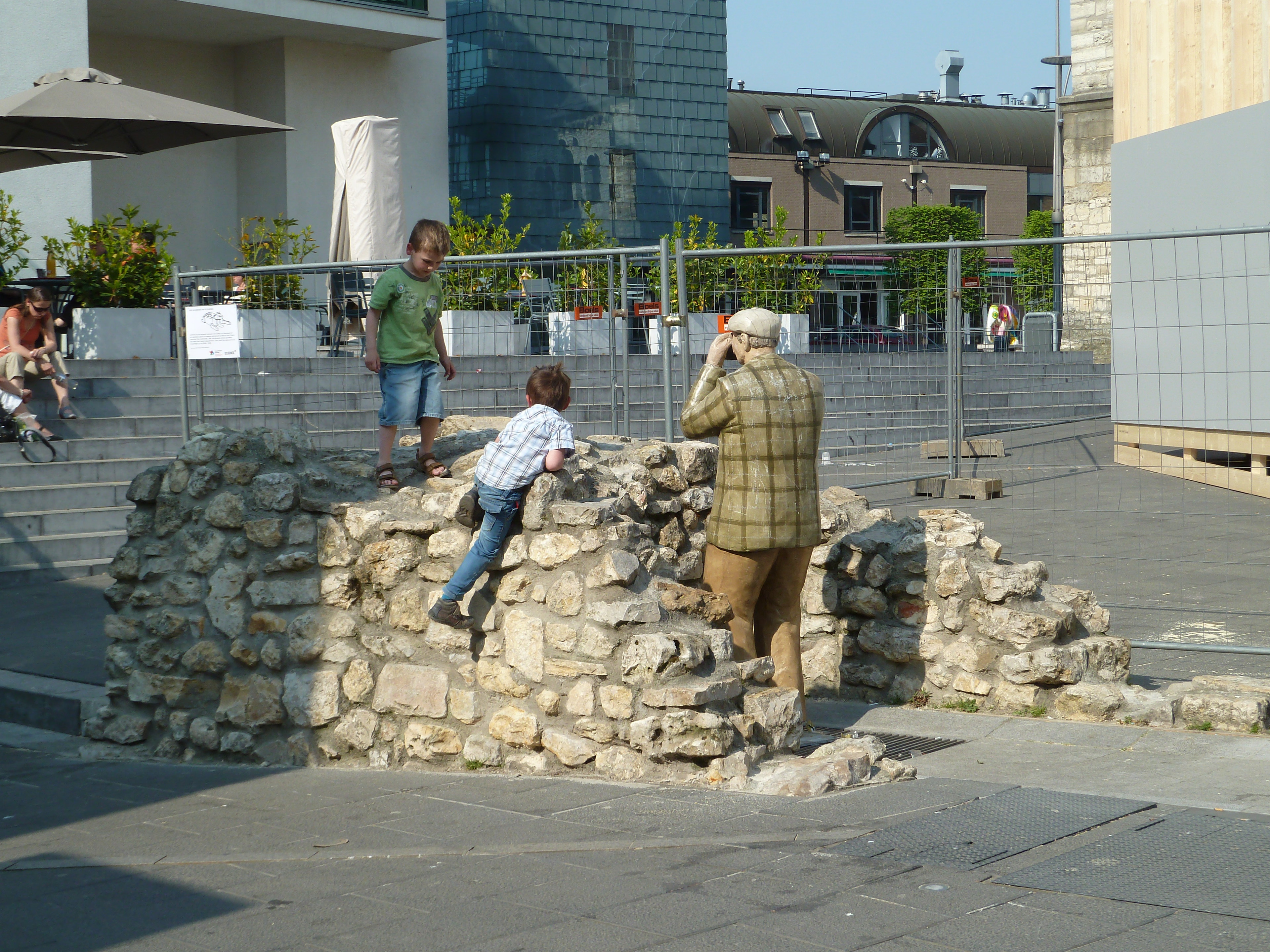
Forgotten History
defensive wall Pancratiusstraat
Heerlen, Netherlands
De uit breuksteen opgetrokken walmuur van Heerlen werd in 1244 aangelegd als verdedigingsmuur van de destijds aldaar bestaande militaire vesting die bekendstaat als het Landsfort Herle. De huidige omwalling bestaat uit een groot deel aan ondergrondse restanten en een kleine reconstructie bovengronds.
- Category
- Forgotten History
- Location
- Heerlen, Netherlands
- Address
- Pancratiusstraat 21, Heerlen
- Coordinates
- 50.88730, 5.97977
- How to get there
- Google MapsApple MapsOpenStreetMap
- Wikidata
- Q17455022
What is defensive wall Pancratiusstraat?
defensive wall Pancratiusstraat is a Forgotten History place on VeroMaps, on Pancratiusstraat 21. Other places close by: Landsfort Herle, Nieuwe Nor, De Boterbloem, Nieuw-Apostolische kerk.
Where is defensive wall Pancratiusstraat?
defensive wall Pancratiusstraat is in Heerlen, Netherlands. Coordinates: 50.88730, 5.97977.
How do I get to defensive wall Pancratiusstraat?
defensive wall Pancratiusstraat is at Pancratiusstraat 21, Heerlen, Netherlands (50.88730, 5.97977). Enter these coordinates in Google Maps, Apple Maps or OpenStreetMap for walking, cycling or driving directions.