Forgotten History
De Wildt
Oude IJsselstreek, Netherlands
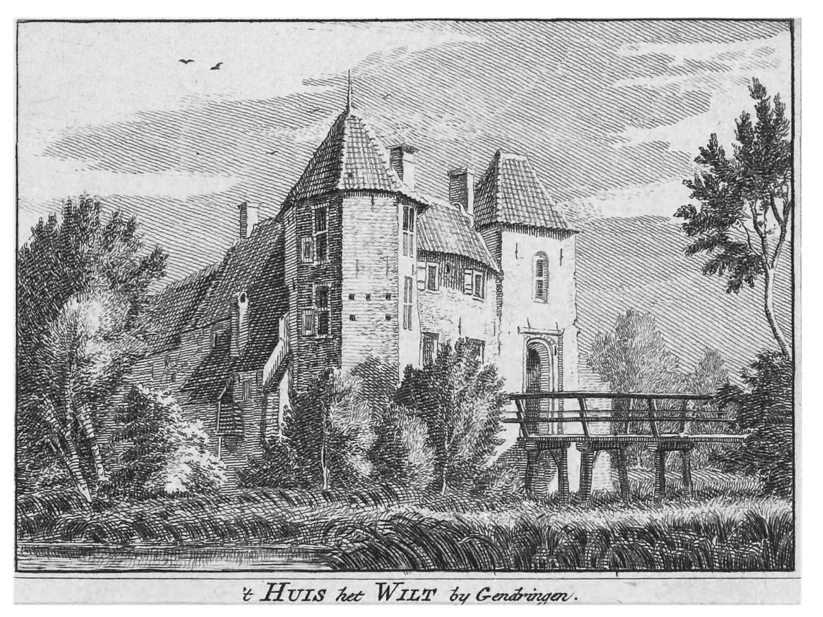
De Wildt was a castle in Gendringen, in Gelderland, which was demolished in 1950. It was also known as Sluiskamp, Sluseborch, Sluysenburgh, Sluzencamp and Het Wilt. The castle was drawn in 1743 by the Dutch artist Jan de Beijer. After the disappearance of the castle and the later house, only a gate at the German border reminds us of the castle and two fence pillars.
- Category
- Forgotten History
- Location
- Oude IJsselstreek, Netherlands
- Coordinates
- 51.86650, 6.38683
- How to get there
- Google MapsApple MapsOpenStreetMap
- Wikidata
- Q16070438
What is De Wildt?
De Wildt is a Forgotten History place on VeroMaps. Other places close by: House Hardenberg, Zwanenburg, Castle of Ulft, Bontebrugkerk.
Where is De Wildt?
De Wildt is in Oude IJsselstreek, Netherlands. Coordinates: 51.86650, 6.38683.
How do I get to De Wildt?
De Wildt is at Oude IJsselstreek, Netherlands (51.86650, 6.38683). Enter these coordinates in Google Maps, Apple Maps or OpenStreetMap for walking, cycling or driving directions.