Forgotten History
De Putting
Bosakkerweg, Netherlands
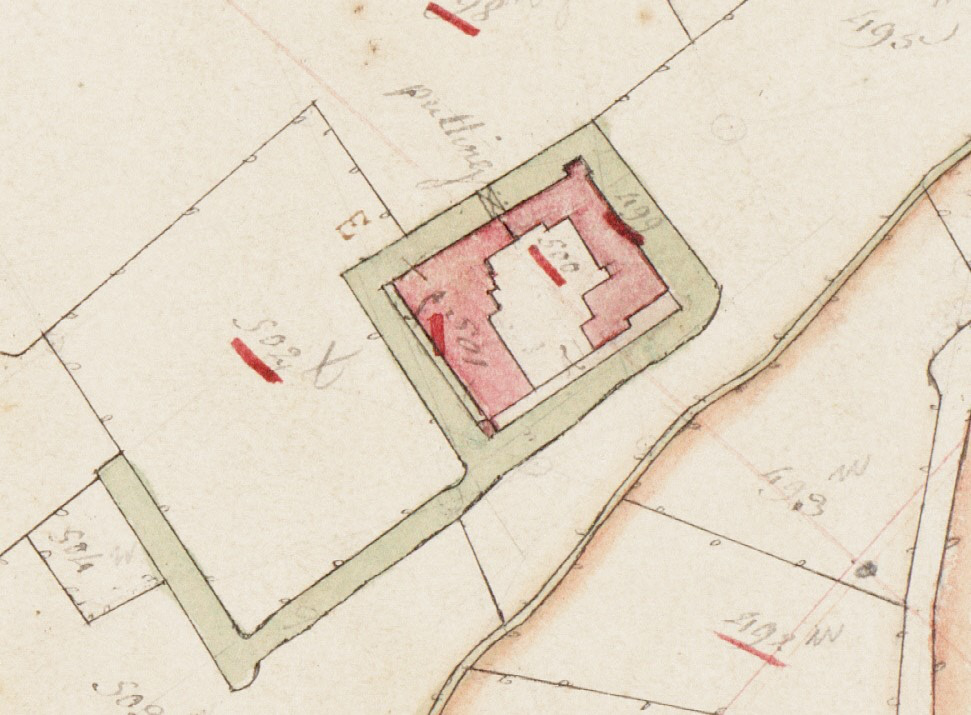
De Putting was a castle north of the Dutch village of Kessel, province of Limburg. The former castle grounds are a national monument.
- Category
- Forgotten History
- Location
- Bosakkerweg, Netherlands
- Coordinates
- 51.30775, 6.07212
- How to get there
- Google MapsApple MapsOpenStreetMap
- Wikidata
- Q17455802
What is De Putting?
De Putting is a Forgotten History place on VeroMaps. Other places close by: Onze-Lieve-Vrouw-van-Altijddurende-Bijstandkapel, Castle De Raay, Onze-Lieve-Vrouw-van-Troostkapel, Keverberg Castle.
Where is De Putting?
De Putting is in Bosakkerweg, Netherlands. Coordinates: 51.30775, 6.07212.
How do I get to De Putting?
De Putting is at Bosakkerweg, Netherlands (51.30775, 6.07212). Enter these coordinates in Google Maps, Apple Maps or OpenStreetMap for walking, cycling or driving directions.