Forgotten History
De Hoop
Drachten, Netherlands
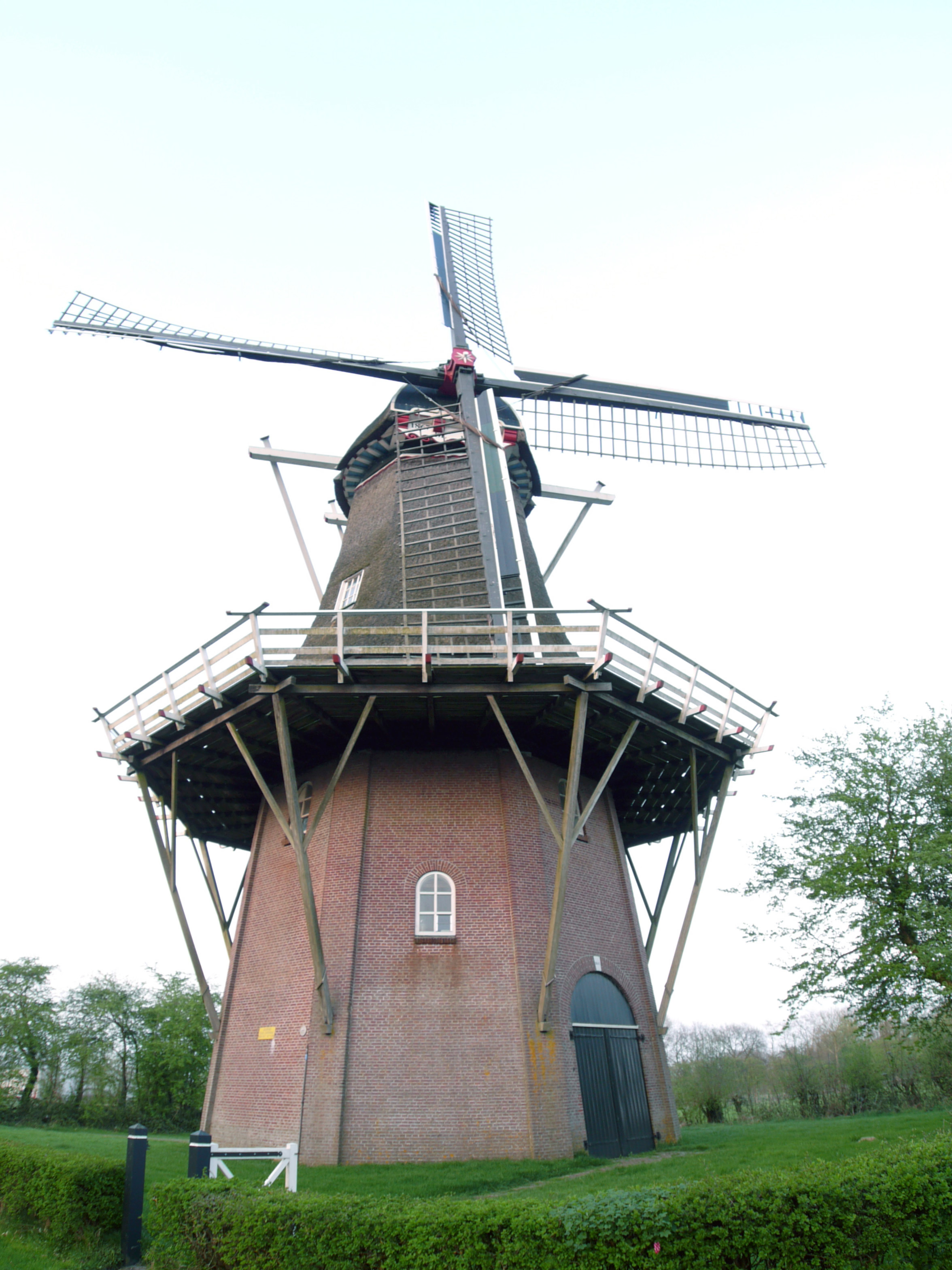
De Hoop (English: The Hope) is a smock mill in Sumar, Friesland, Netherlands which was built in 1867 and is in working order. The mill is listed as a Rijksmonument.
- Category
- Forgotten History
- Location
- Drachten, Netherlands
- Address
- t.o. Mounepaed 21, Drachten
- Coordinates
- 53.17894, 5.99753
- How to get there
- Google MapsApple MapsOpenStreetMap
- Wikidata
- Q2393918
What is De Hoop?
De Hoop is a Forgotten History place on VeroMaps, on t.o. Mounepaed 21. Other places close by: Frije Evangelyske Tsjerke, De Ikker, Protestant church of Burgum, Andreaskerk.
Where is De Hoop?
De Hoop is in Drachten, Netherlands. Coordinates: 53.17894, 5.99753.
How do I get to De Hoop?
De Hoop is at t.o. Mounepaed 21, Drachten, Netherlands (53.17894, 5.99753). Enter these coordinates in Google Maps, Apple Maps or OpenStreetMap for walking, cycling or driving directions.