Forgotten History
De Hoop
Leeuwarden, Netherlands
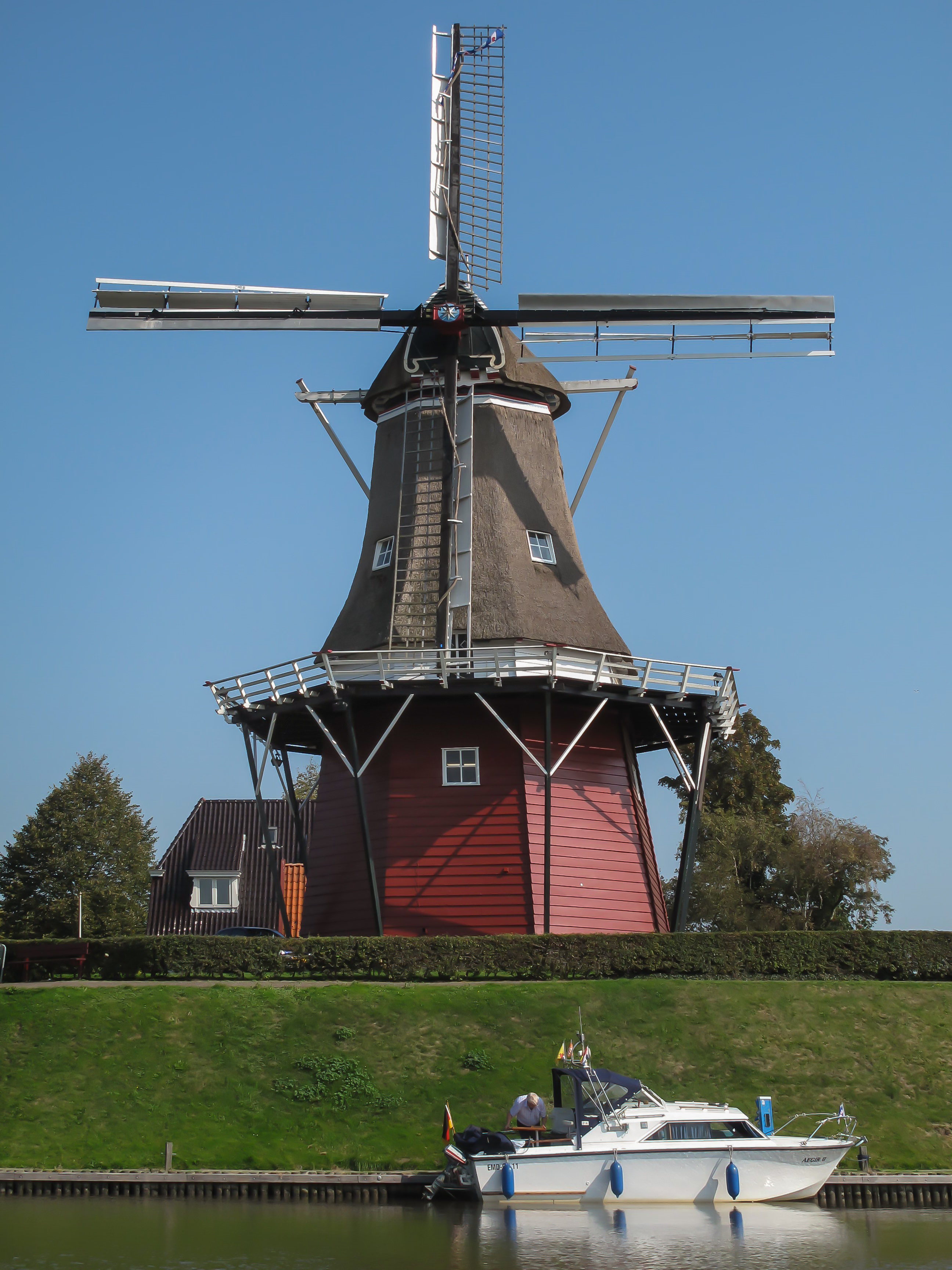
De Hoop is een windmolen in Dokkum uit 1849. De achtkante bovenkruier is een stellingmolen. De functie is korenmolen. Eigenaar is de Stichting Monumentenbehoud Dongeradeel. De Hoop is een van de twee molens die Dokkum rijk is. De andere molen is de Zeldenrust. Beide molens staan op de bolwerken.
- Category
- Forgotten History
- Location
- Leeuwarden, Netherlands
- Address
- Zuiderbolwerk 2, Leeuwarden
- Coordinates
- 53.32278, 5.99806
- How to get there
- Google MapsApple MapsOpenStreetMap
- Wikidata
- Q614031
What is De Hoop?
De Hoop is a Forgotten History place on VeroMaps, on Zuiderbolwerk 2. Other places close by: Zeldenrust, Bonifatiuskapel Dokkum, Watertoren, Hervormde kerk, Wâlterswâld.
Where is De Hoop?
De Hoop is in Leeuwarden, Netherlands. Coordinates: 53.32278, 5.99806.
How do I get to De Hoop?
De Hoop is at Zuiderbolwerk 2, Leeuwarden, Netherlands (53.32278, 5.99806). Enter these coordinates in Google Maps, Apple Maps or OpenStreetMap for walking, cycling or driving directions.