Forgotten History
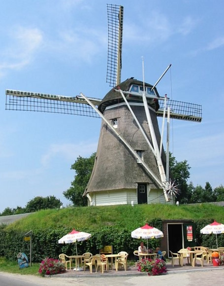
De Duif
Nunspeet, Netherlands
De Duif is een korenmolen in Nunspeet in de Nederlandse provincie Gelderland. De molen werd in 1886 gebouwd op de plek waar een vorige molen was afgebrand. Deze voorganger was ook al een opvolger van een afgebrande standerdmolen. De huidige beltmolen werd in 1963 en 1982 gerestaureerd.
- Category
- Forgotten History
- Location
- Nunspeet, Netherlands
- Address
- Molenweg 91, Nunspeet
- Coordinates
- 52.39216, 5.78128
- How to get there
- Google MapsApple MapsOpenStreetMap
- Wikidata
- Q1179852
What is De Duif?
De Duif is a Forgotten History place on VeroMaps, on Molenweg 91. Other places close by: Hervormde Gemeente Doornspijk, De Maagd, Kasteel de Essenburgh, Vischpoort.
Where is De Duif?
De Duif is in Nunspeet, Netherlands. Coordinates: 52.39216, 5.78128.
How do I get to De Duif?
De Duif is at Molenweg 91, Nunspeet, Netherlands (52.39216, 5.78128). Enter these coordinates in Google Maps, Apple Maps or OpenStreetMap for walking, cycling or driving directions.