Urbex & Abandoned
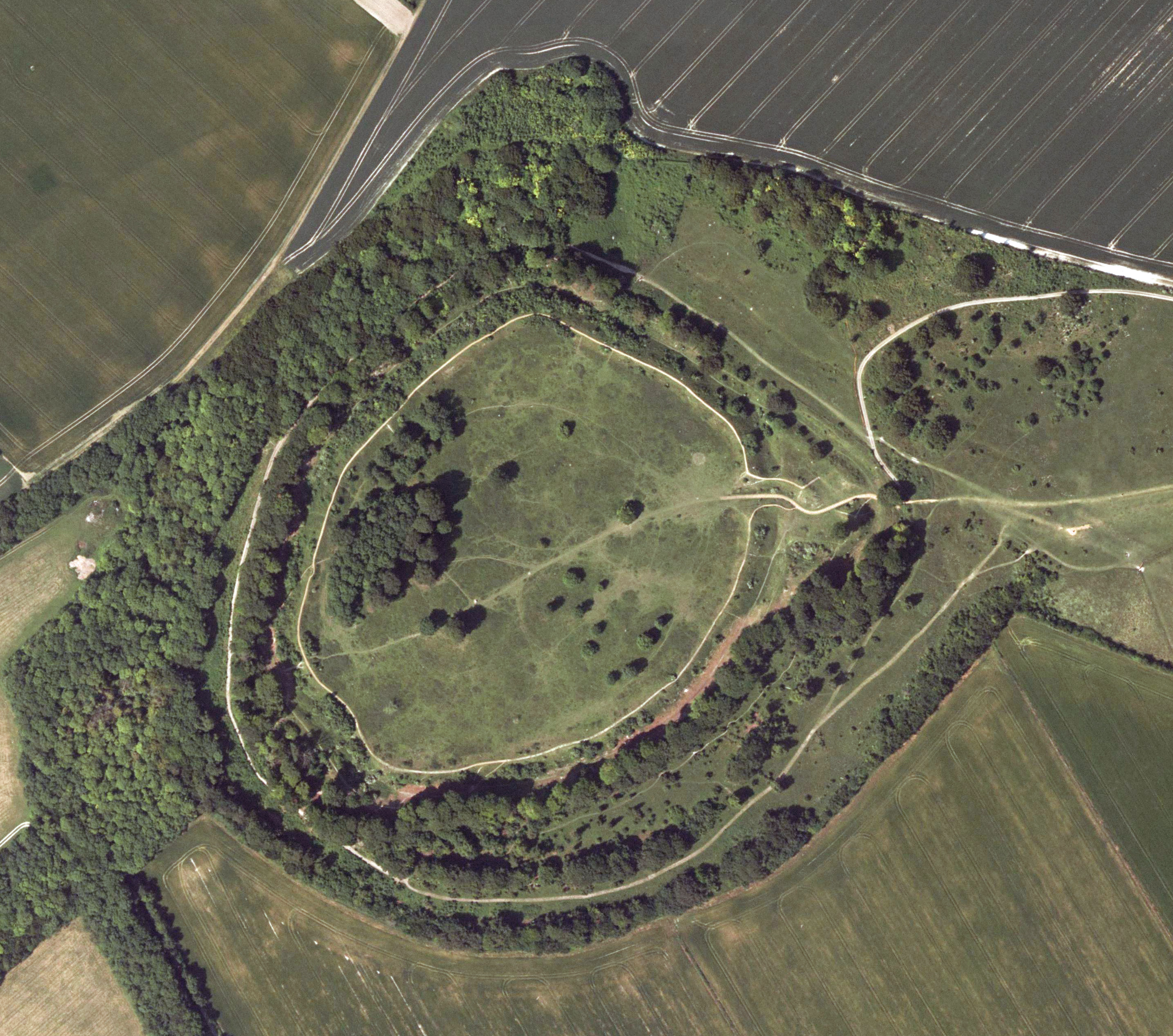
Danebury Hill Camp
Nether Wallop, United Kingdom
Danebury (formerly ‘Dunnebury Hill’) is an Iron Age hillfort in Hampshire, England, about 19 kilometres (12 mi) north-west of Winchester (grid reference SU323376). The site, covering 5 hectares (12 acres), was excavated by Barry Cunliffe over twenty years.
- Category
- Urbex & Abandoned
- Location
- Nether Wallop, United Kingdom
- Coordinates
- 51.13680, -1.53970
- How to get there
- Google MapsApple MapsOpenStreetMap
- Wikidata
- Q677333
What is Danebury Hill Camp?
Danebury Hill Camp is a Urbex & Abandoned place on VeroMaps. Other places close by: Amport House, The Angel Inn, Mottisfont Abbey, Sir Harold Hillier Gardens.
Where is Danebury Hill Camp?
Danebury Hill Camp is in Nether Wallop, United Kingdom. Coordinates: 51.13680, -1.53970.
How do I get to Danebury Hill Camp?
Danebury Hill Camp is at Nether Wallop, United Kingdom (51.13680, -1.53970). Enter these coordinates in Google Maps, Apple Maps or OpenStreetMap for walking, cycling or driving directions.