Night Life
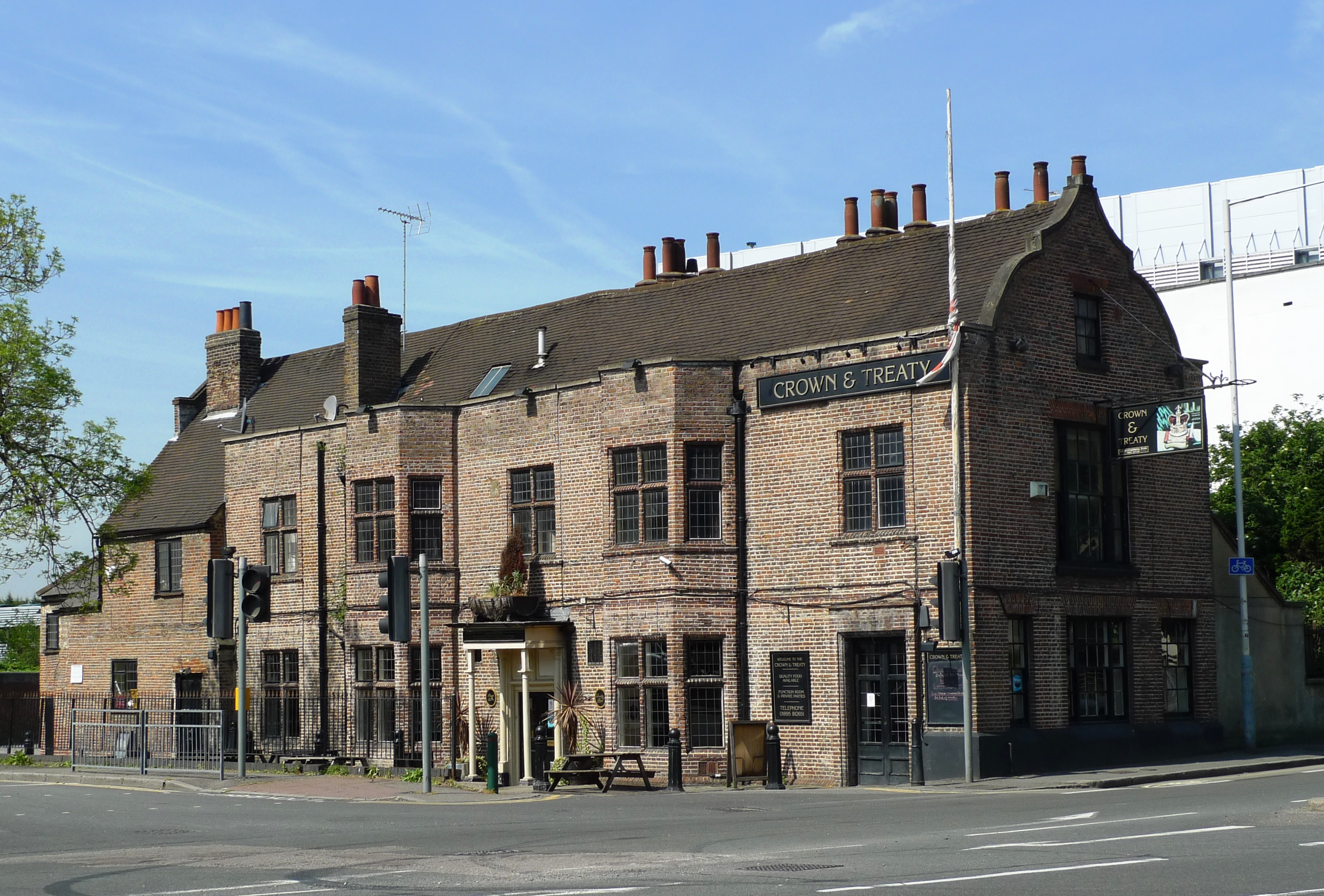
Crown and Treaty
London, United Kingdom
The Crown and Treaty is an historic building on Oxford Road in Uxbridge, England, dating from 1576. It was the site where Charles I and his parliamentary opponents attempted negotiations (the Treaty of Uxbridge) between 30 January and 22 February 1645 to end the English Civil War. It is a Grade II* listed building.
- Category
- Night Life
- Location
- London, United Kingdom
- Address
- 90 Oxford Road, London
- Coordinates
- 51.54990, -0.48410
- How to get there
- Google MapsApple MapsOpenStreetMap
- Wikidata
- Q5189482
What is Crown and Treaty?
Crown and Treaty is a Night Life place on VeroMaps, on 90 Oxford Road. Other places close by: Regal Cinema, Battle of Britain Bunker, Malt Shovel, Red Lion.
Where is Crown and Treaty?
Crown and Treaty is in London, United Kingdom. Coordinates: 51.54990, -0.48410.
How do I get to Crown and Treaty?
Crown and Treaty is at 90 Oxford Road, London, United Kingdom (51.54990, -0.48410). Enter these coordinates in Google Maps, Apple Maps or OpenStreetMap for walking, cycling or driving directions.