Photo corners
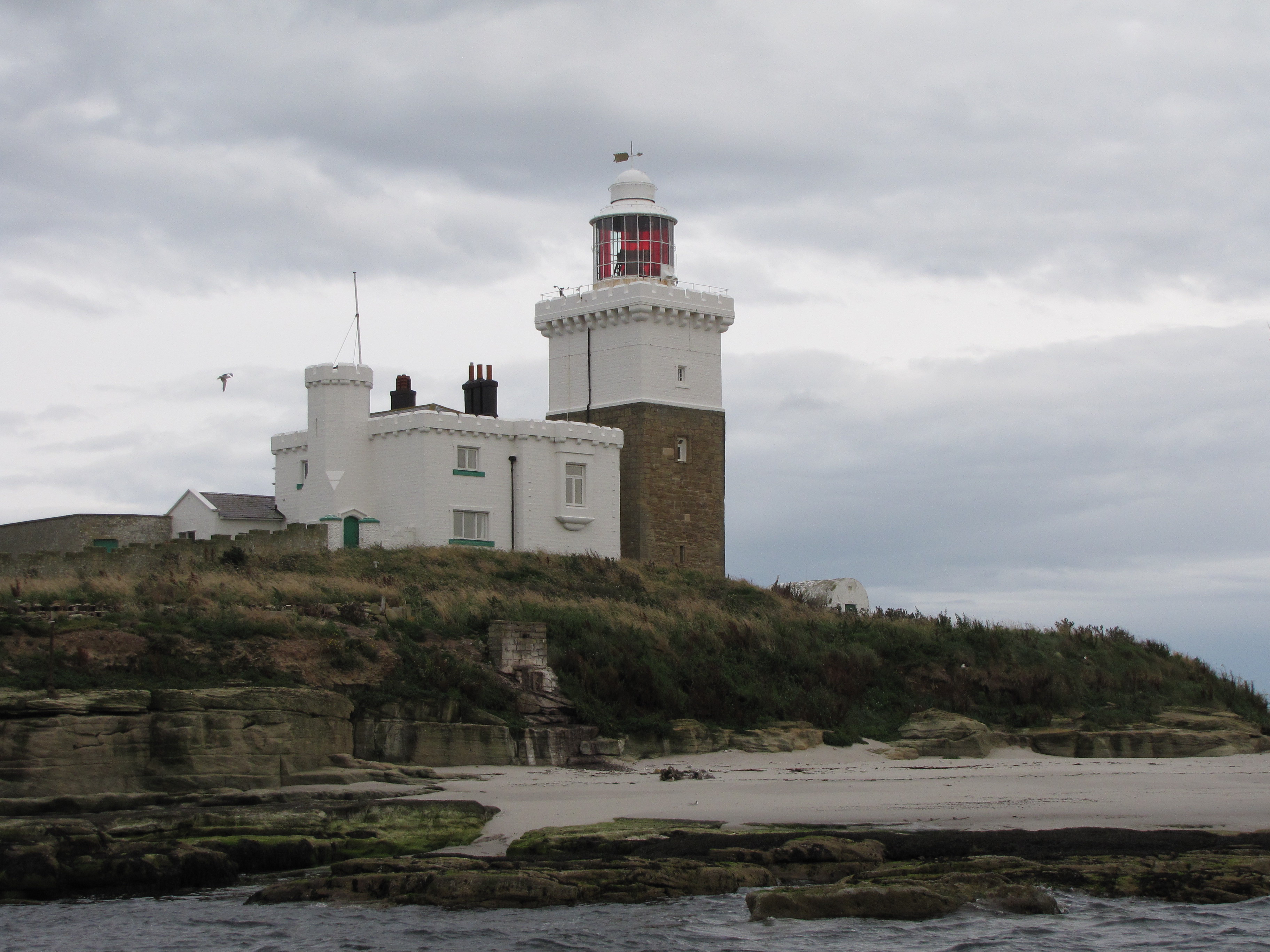
Coquet Island
Northumberland, United Kingdom
Coquet Island is a small island of about 6 hectares (15 acres), situated 1.2 kilometres (0.75 mi) off Amble on the Northumberland coast, northeast England. It is included in the civil parish of Hauxley.
- Category
- Photo Spots
- Location
- Northumberland, United Kingdom
- Coordinates
- 55.33500, -1.53900
- How to get there
- Google MapsApple MapsOpenStreetMap
- Wikidata
- Q2755722
What is Coquet Island?
Coquet Island is a Photo Spots place on VeroMaps. Other places close by: Warkworth Castle, Alnwick Castle, Linden Hall, Dunstanburgh Castle.
Where is Coquet Island?
Coquet Island is in Northumberland, United Kingdom. Coordinates: 55.33500, -1.53900.
How do I get to Coquet Island?
Coquet Island is at Northumberland, United Kingdom (55.33500, -1.53900). Enter these coordinates in Google Maps, Apple Maps or OpenStreetMap for walking, cycling or driving directions.