Urbex & Abandoned
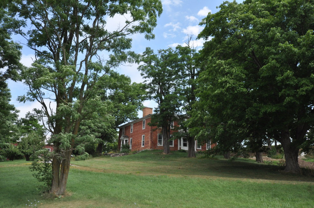
Colonel Ephraim and Sarah Doolittle Farm
Vermont, United States
The Colonel Ephraim and Sarah Doolittle Farm is a historic farm property on Doolittle Road in Shoreham, Vermont. It is one of the oldest colonial farm properties in western Vermont, established in 1766 by Colonel Ephraim Doolittle, a veteran of the French and Indian War and the American Revolutionary War. It was listed on the National Register of Historic Places in 1995.
- Category
- Urbex & Abandoned
- Location
- Vermont, United States
- Coordinates
- 43.93861, -73.30444
- How to get there
- Google MapsApple MapsOpenStreetMap
- Wikidata
- Q28123683
What is Colonel Ephraim and Sarah Doolittle Farm?
Colonel Ephraim and Sarah Doolittle Farm is a Urbex & Abandoned place on VeroMaps. Other places close by: Crown Point Light, Waybury Inn, Richmond Underwear Company Building, Peyser and Morrison Shirt Company Building.
Where is Colonel Ephraim and Sarah Doolittle Farm?
Colonel Ephraim and Sarah Doolittle Farm is in Vermont, United States. Coordinates: 43.93861, -73.30444.
How do I get to Colonel Ephraim and Sarah Doolittle Farm?
Colonel Ephraim and Sarah Doolittle Farm is at Vermont, United States (43.93861, -73.30444). Enter these coordinates in Google Maps, Apple Maps or OpenStreetMap for walking, cycling or driving directions.