Urbex & Abandoned
Colline du Château
Nice, France
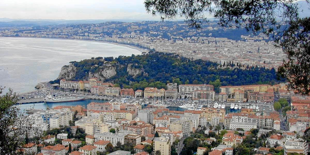
The Castle of Nice or Colline du Château was a military citadel. Built at the top of a hill, it stood overlooking the bay of Nice from the 11th century to the 18th century. It was besieged several times, especially in 1543 and in 1691, before it was taken by French troops in 1705 and finally destroyed in 1706 by command of Louis XIV. Nowadays, Castle Hill is used as a park. It's the most famous public garden in Nice, and a "must see" place for the numerous tourists who visit the city. It offers many amazing panoramas and provides a beautiful view all day long from sunrise to sundown, highlighting various landscapes depending on where one looks: the Harbor at sunrise, the Promenade des Anglais at sundown. That's why Castle Hill is called "the cradle of the sun".
- Category
- Urbex & Abandoned
- Location
- Nice, France
- Coordinates
- 43.69600, 7.27968
- How to get there
- Google MapsApple MapsOpenStreetMap
- Wikidata
- Q2970127
What is Colline du Château?
Colline du Château is a Urbex & Abandoned place on VeroMaps. Other places close by: Chapelle du Saint-Suaire, Fontaine des Tritons (Nice), Le Phare de Nice, Théâtre de verdure de Nice.
Where is Colline du Château?
Colline du Château is in Nice, France. Coordinates: 43.69600, 7.27968.
How do I get to Colline du Château?
Colline du Château is at Nice, France (43.69600, 7.27968). Enter these coordinates in Google Maps, Apple Maps or OpenStreetMap for walking, cycling or driving directions.