Urbex & Abandoned
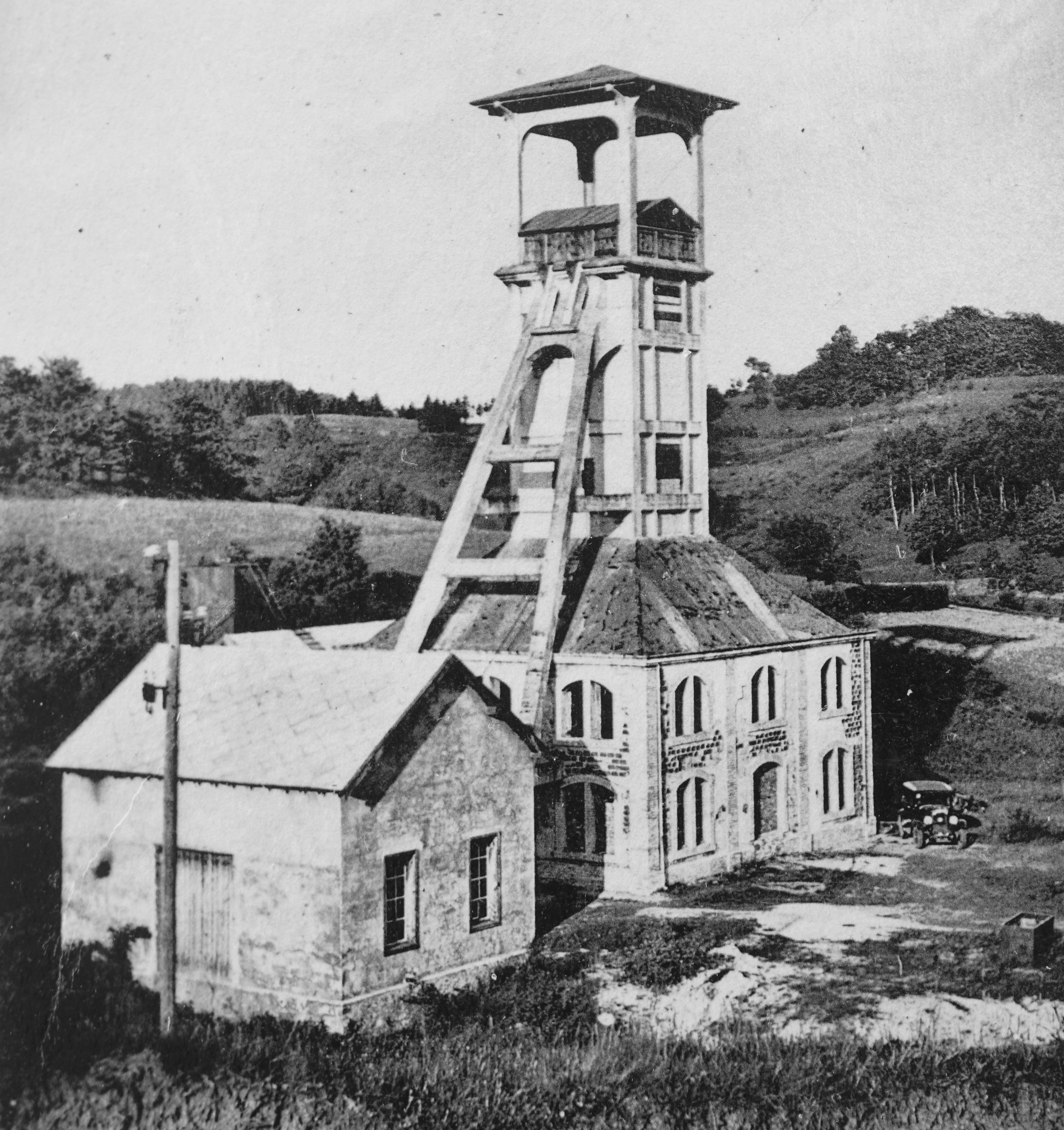
Coal mine Sainte Marie
Ronchamp, France
The Sainte Marie Coal Mine is one of the major Ronchamp coal mines, located in Bourlémont (Ronchamp, Haute-Saône), in eastern France. It was worked intermittently between 1866 and 1958, then finally closed. The concrete headframe was reinforced in 1924 by Charles Tournay.
- Category
- Urbex & Abandoned
- Location
- Ronchamp, France
- Coordinates
- 47.70290, 6.62974
- How to get there
- Google MapsApple MapsOpenStreetMap
- Wikidata
- Q3410669
What is Coal mine Sainte Marie?
Coal mine Sainte Marie is a Urbex & Abandoned place on VeroMaps. Other places close by: Notre Dame du Haut, Puits du Chanois, Puits de l'Étançon, Puits Saint-Joseph.
Where is Coal mine Sainte Marie?
Coal mine Sainte Marie is in Ronchamp, France. Coordinates: 47.70290, 6.62974.
How do I get to Coal mine Sainte Marie?
Coal mine Sainte Marie is at Ronchamp, France (47.70290, 6.62974). Enter these coordinates in Google Maps, Apple Maps or OpenStreetMap for walking, cycling or driving directions.