Urbex & Abandoned
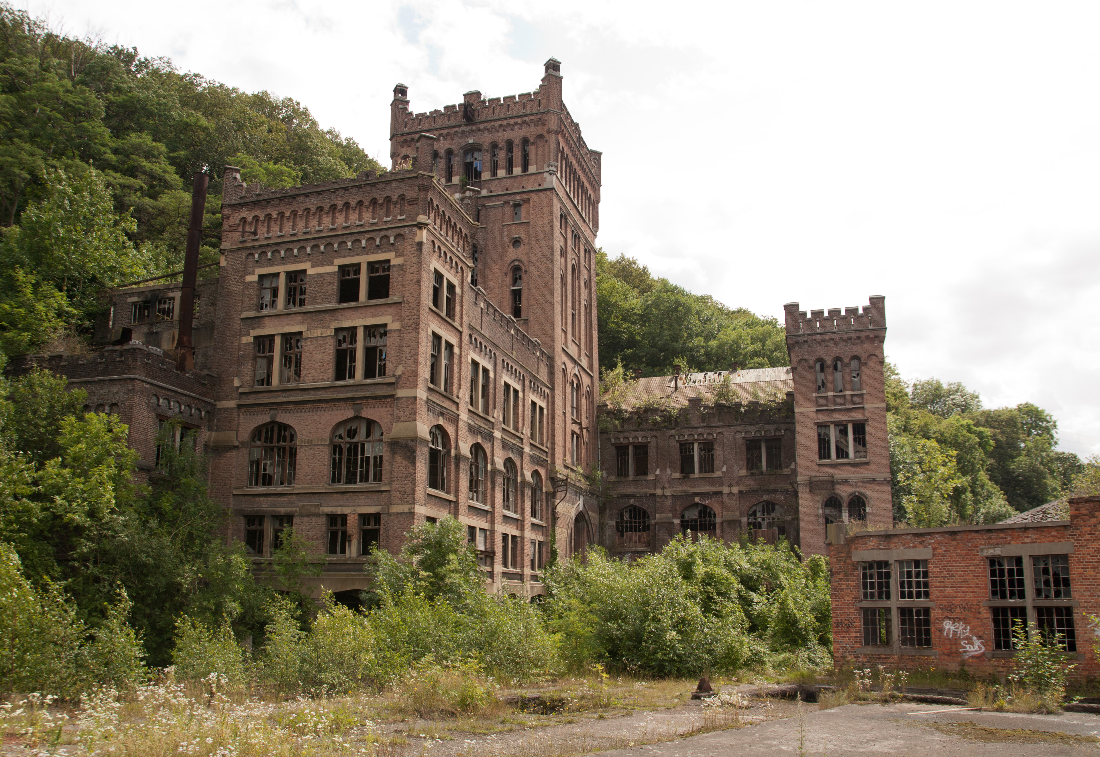
Coal mine of Hasard de Cheratte
Riemst, Belgium
The Coal mine of Hasard de Cheratte (or Cheratte 10) was the main colliery of the Société anonyme des Charbonnages du Hasard, and had four shafts. It is located in Cheratte, a section of the Belgian town of Visé in Liège province in Wallonia. The first shaft was dug in 1850 to extract dice coal and closed for the first time in 1877 following an accident. It reopened 30 years later in 1907 and operated until 1977. In the early 21st century the mine has gained some notoriety as an urban ruin. Remediation of the site and the demolition of several buildings start in 2017.
- Category
- Urbex & Abandoned
- Location
- Riemst, Belgium
- Coordinates
- 50.68080, 5.67026
- How to get there
- Google MapsApple MapsOpenStreetMap
- Wikidata
- Q2957677
What is Coal mine of Hasard de Cheratte?
Coal mine of Hasard de Cheratte is a Urbex & Abandoned place on VeroMaps. Other places close by: Château Saroléa (Cheratte), Fort de Barchon, Pont de Wandre, Fort de Pontisse.
Where is Coal mine of Hasard de Cheratte?
Coal mine of Hasard de Cheratte is in Riemst, Belgium. Coordinates: 50.68080, 5.67026.
How do I get to Coal mine of Hasard de Cheratte?
Coal mine of Hasard de Cheratte is at Riemst, Belgium (50.68080, 5.67026). Enter these coordinates in Google Maps, Apple Maps or OpenStreetMap for walking, cycling or driving directions.