Urbex & Abandoned
Clover Hill Pits
Chesterfield County, United States
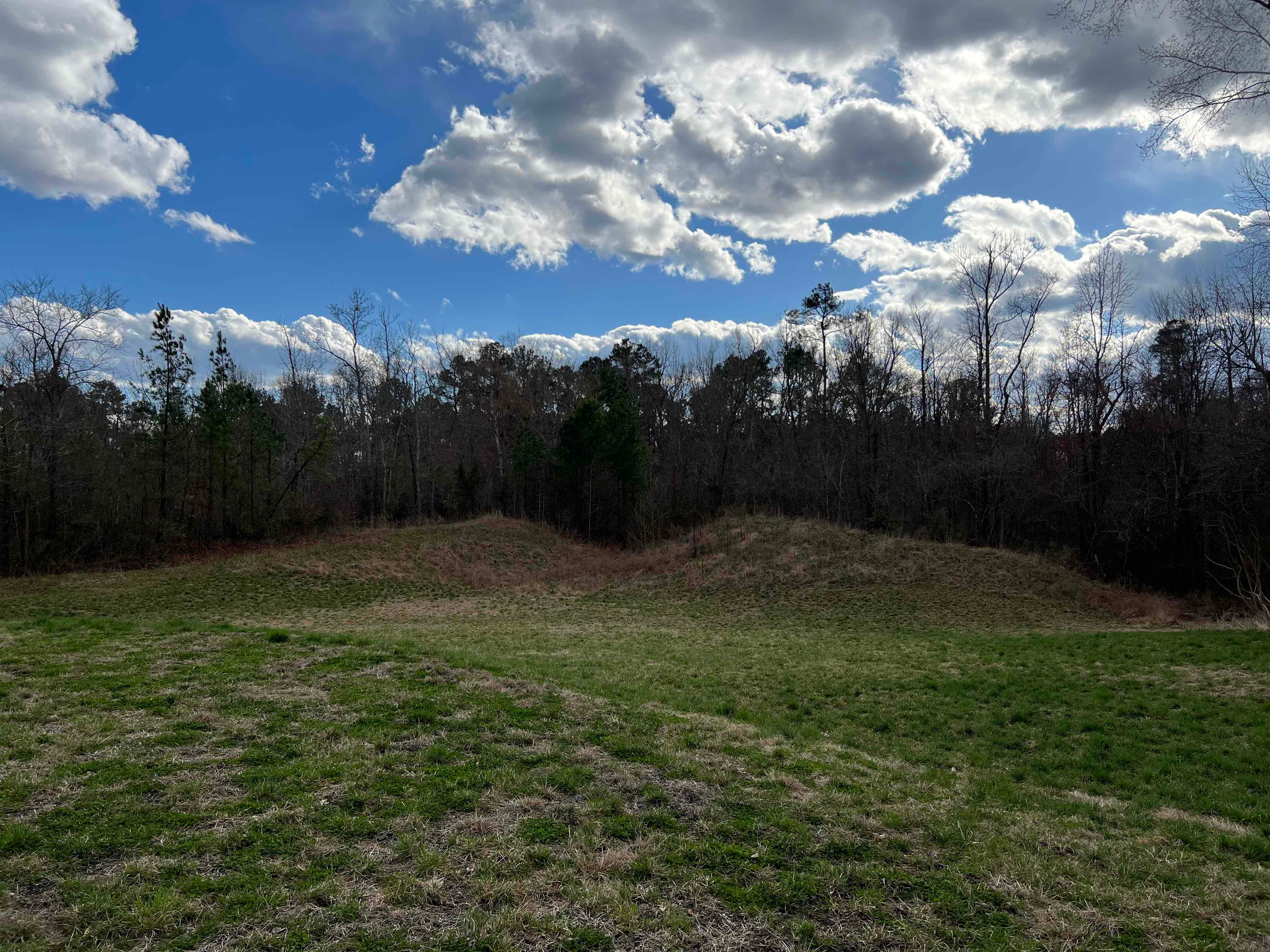
The Clover Hill Pits are a number of coal shafts and mines that operated in the Southside area of Richmond, Virginia, from 1837 until around 1883.
- Category
- Urbex & Abandoned
- Location
- Chesterfield County, United States
- Coordinates
- 37.34361, -77.72611
- How to get there
- Google MapsApple MapsOpenStreetMap
- Wikidata
- Q28230747
What is Clover Hill Pits?
Clover Hill Pits is a Urbex & Abandoned place on VeroMaps. Other places close by: Powell's Tavern, Virginia Trunk & Bag Company, Southern Stove Works, Manchester, Jefferson Hotel.
Where is Clover Hill Pits?
Clover Hill Pits is in Chesterfield County, United States. Coordinates: 37.34361, -77.72611.
How do I get to Clover Hill Pits?
Clover Hill Pits is at Chesterfield County, United States (37.34361, -77.72611). Enter these coordinates in Google Maps, Apple Maps or OpenStreetMap for walking, cycling or driving directions.