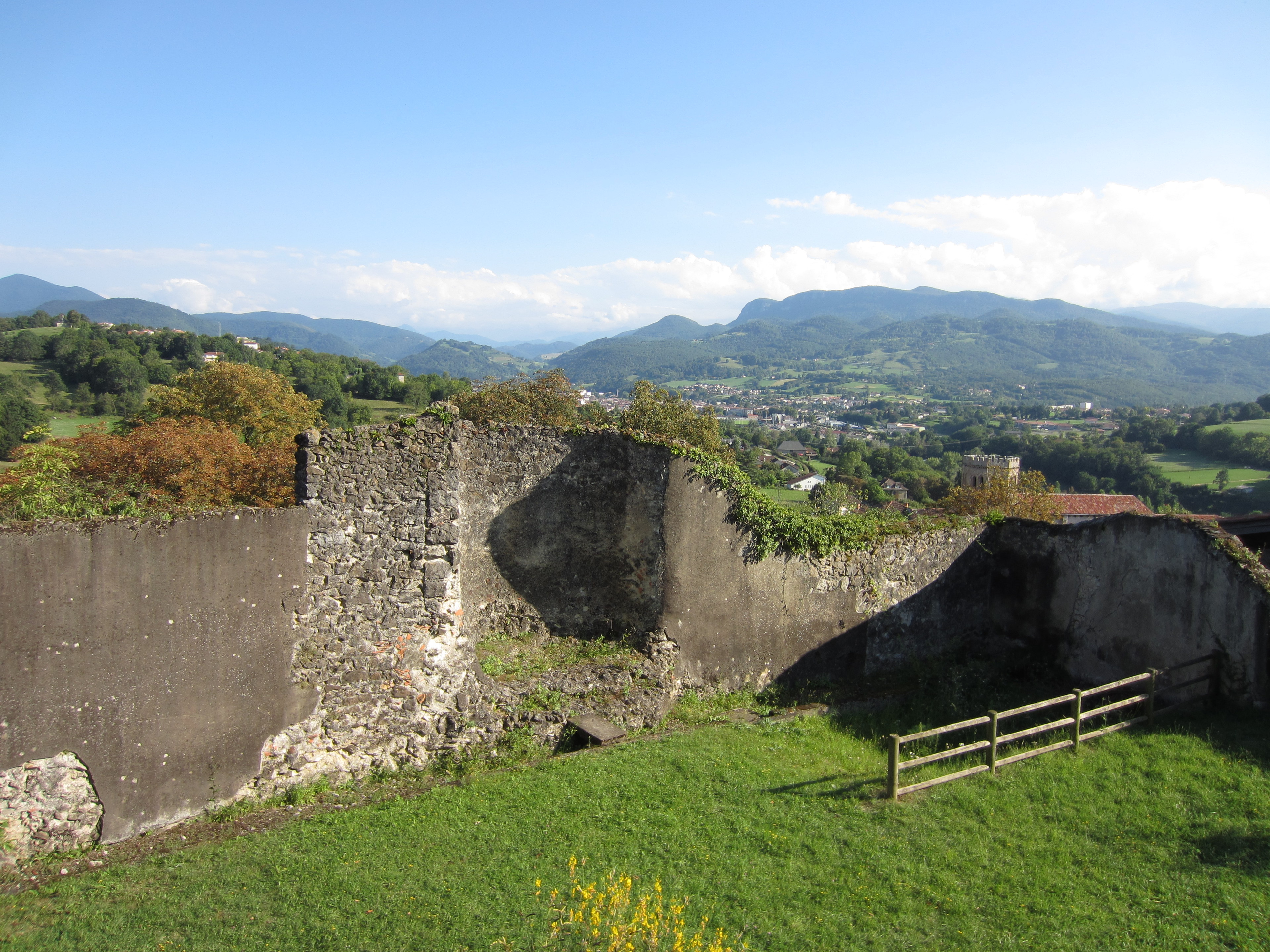
Forgotten History
City walls of Saint-Lizier
Ville Haute, France
Les murailles gallo-romaines de Saint-Lizier sont un rempart gallo-romain en pierre situé sur la commune de Saint-Lizier, dans le département de l'Ariège, en France.
- Category
- Forgotten History
- Location
- Ville Haute, France
- Coordinates
- 43.00320, 1.13780
- How to get there
- Google MapsApple MapsOpenStreetMap
- Wikidata
- Q22937227
What is City walls of Saint-Lizier?
City walls of Saint-Lizier is a Forgotten History place on VeroMaps. Other places close by: Notre-Dame-de-la-Sède Cathedral, Cave of Tuc d'Audoubert, Trois Frères Cave, Tarté.
Where is City walls of Saint-Lizier?
City walls of Saint-Lizier is in Ville Haute, France. Coordinates: 43.00320, 1.13780.
How do I get to City walls of Saint-Lizier?
City walls of Saint-Lizier is at Ville Haute, France (43.00320, 1.13780). Enter these coordinates in Google Maps, Apple Maps or OpenStreetMap for walking, cycling or driving directions.