Forgotten History
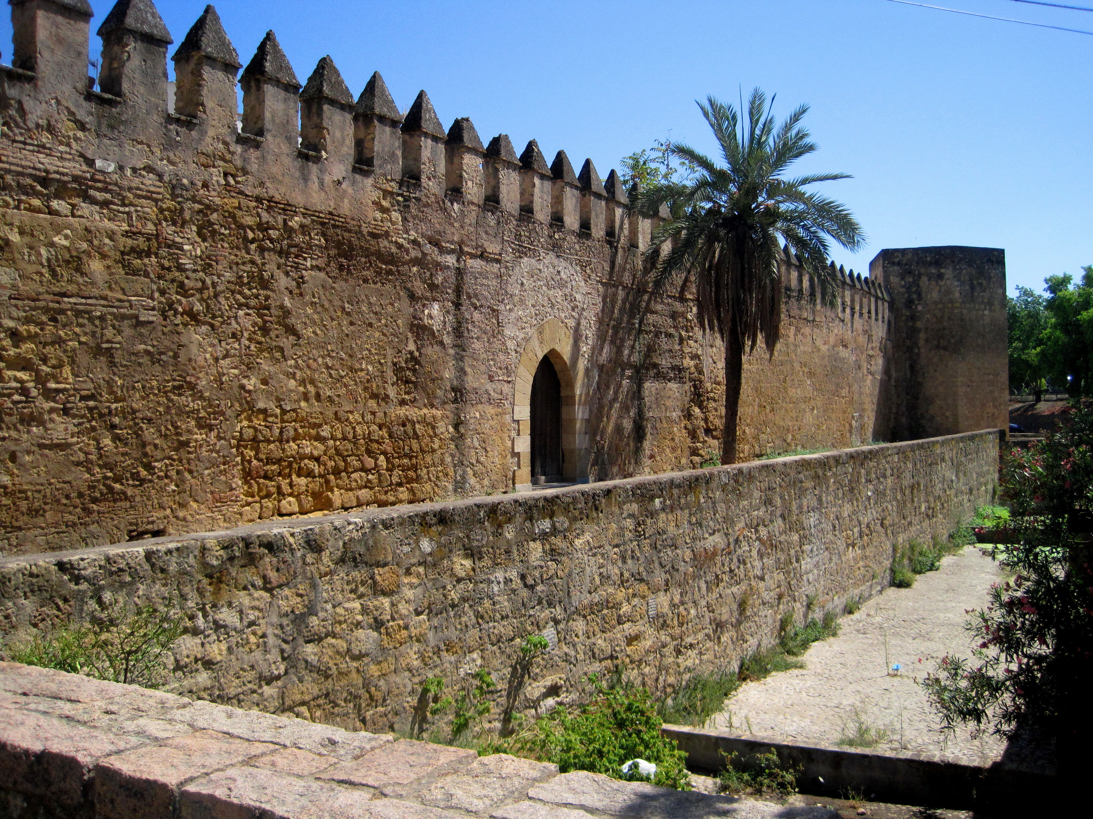
City walls of Córdoba
Córdoba, Spain
The Roman Walls of Córdoba are the ancient Roman defensive walls of the Roman colonia of Corduba –present-day Córdoba, Spain–, capital of the Roman province of Hispania Baetica. Stretching 2,650 metres (8,690 ft), they were built after the Romans captured the city in 206 BC to defend the ancient Roman town as part of the Roman Republic.
- Category
- Forgotten History
- Location
- Córdoba, Spain
- Coordinates
- 37.89247, -4.76865
- How to get there
- Google MapsApple MapsOpenStreetMap
- Wikidata
- Q15554384
What is City walls of Córdoba?
City walls of Córdoba is a Forgotten History place on VeroMaps. Other places close by: Monumento a Manolete, Donceles tower, Torre de la Puerta del Rincón, Fuente de la Fuenseca.
Where is City walls of Córdoba?
City walls of Córdoba is in Córdoba, Spain. Coordinates: 37.89247, -4.76865.
How do I get to City walls of Córdoba?
City walls of Córdoba is at Córdoba, Spain (37.89247, -4.76865). Enter these coordinates in Google Maps, Apple Maps or OpenStreetMap for walking, cycling or driving directions.